St Oswalds Way
Walk in the footsteps of Northumberland's King
St Oswalds Way is a long-distance walk through the stunning Northumberland landscape between Heavenfield in the south to Lindisfarne (Holy Island) in the north. The 97-mile (155 km) way-marked walk can be done in either direction and is often completed as a pilgrimage as it connects many locations associated with the seventh century Northumbrian King Oswald who turned his kingdom into England's “Cradle of Christianity”. The path is a great adventure and winds its way through farmland and forest, along charming river valleys, up and down hills, past historic castles and alongside a glorious coastline. All of this with outstanding views, of course. This is Northumberland at its best!
Walking St Oswalds Way takes a bit of planning. Reaching the start and finish can be tricky when relying on public transport. Accommodation options and even places to buy refreshment are in short supply on the 32-mile leg from Heavensfield to Rothbury, making it difficult to break into shorter sections. At the Holy Island end of the walk, you'll need to keep an eye on the tides to ensure a timely crossing to and from Lindisfarne.
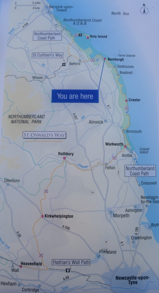 St Oswalds Way Map
 Photo Taken From Information Board
© essentially-england.com
My preferred route would be to start from Heavenfield and walk northeast (ish).
Firstly, this would hopefully give you a better chance of the wind being behind you, and secondly, finishing the walk on Lindisfarne gives you a chance to explore the priory, castle, and island at leisure, as well as relax and rest your aching feet!
Ending the walk on Lindisfarne is a good choice from a practical standpoint, too.
Many walkers use the pilgrims' crossing to or from Holy Island, which means walking through sand and mud off the paved causeway. If you end your walk on Holy Island you won't have to complete the whole walk in, or carrying, sandy / muddy clothes and boots.
Walking the St Oswalds Way
I’ve split the long-distance path into 7 stages, which makes the average daily mileage around 13.9 miles. If this is too much then I do offer some suggestions to decrease the daily distance walked, but obviously this adds to the length of time it takes to complete the whole path.
Stage
1 – Heavenfield to Knowesgate 18 miles
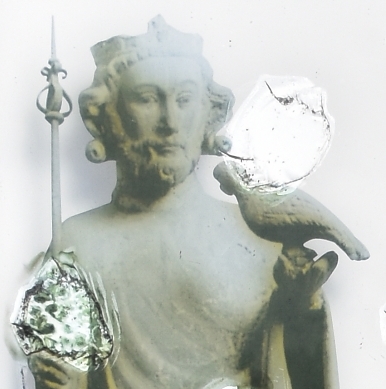 St Oswald - Photo Taken From Information Board
 © essentially-england.com
As mentioned earlier, this is a long days’ walk as there is little choice of accommodation or refreshments along the way.
The stage could be split into two days if required. There is B&B accommodation at about 5 miles and a Glamping site around 7 miles.
Another option is to make Hexham or Corbridge your base for a couple of nights. Get a taxi ride out to the start, walk, say 8 miles, return by taxi. The next morning, get a taxi back to the previous days' finish, then walk and stay in Knowesgate.
The wooden cross at Heavenfield makes an excellent place to start this wonderful journey. This is the scene of the 635 Battle of Heavenfield where Northumbrian King Oswald, as he was at the time, defeated King Cadwallon of Gwynendd. Before the battle, Oswald and his army erected a large wooden cross in front of which they prayed to God for his assistance in the fight.
Make sure you visit the peaceful St Oswald’s Church at the top of the rise and take in the great views before you start your journey.
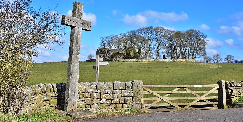 Heavenfield and St Oswald's Church - Our Start Point of St Oswalds Way © essentially-england.com
For the first six miles after Heavenfield, St Oswalds Way follows the Hadrian’s Wall Path in an easterly direction. There is not much structural evidence of the great Roman frontier left, but occasionally you can see faint outlines of the ditch work. Most of the walk is in remote, gently rolling farmland and passes through small hamlets or villages.
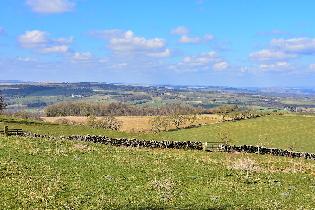 Views from St Oswald's Church at Heavenfield
 © essentially-england.com
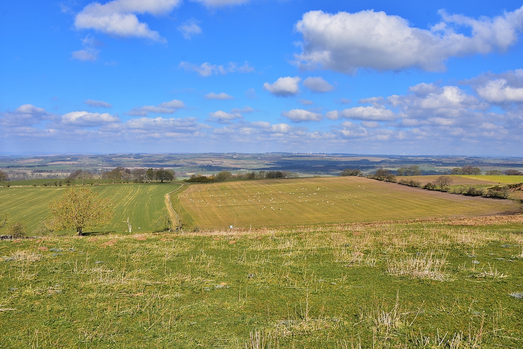 Views from St Oswald's Church at Heavenfield
 © essentially-england.com
Stage 2 –
Knowesgate to Rothbury 14 miles
This is another day walk where there are no places to stay or buy refreshments and there is little chance of splitting the stage and using taxis. It's a tough start to the St Oswald's Way route, but it does get a little easier!
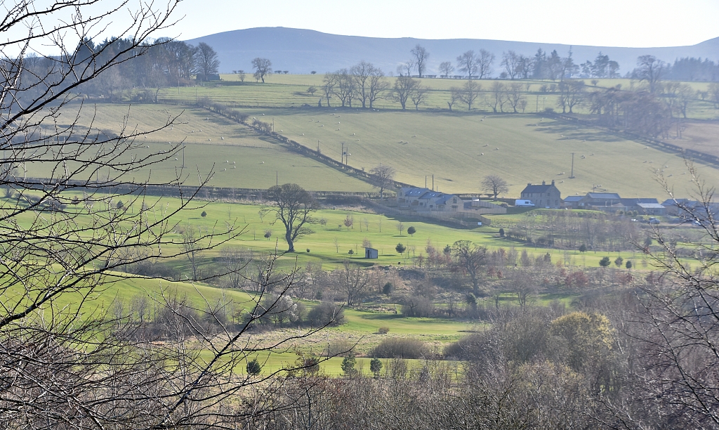 View Towards the Simonside Hills from Rothbury © essentially-england.com
From the pretty village of Knowesgate, St Oswalds Way initially continues through rolling farmland. The scene soon changes, and the landscape becomes hillier. The route passes through the large conifer plantation of Harwood Forest and then up onto the heather-clad moors of the Simonside Hills.
From up here, you'll have amazing views over the Northumberland countryside and coast. There is also the opportunity to visit Lordenshaws iron age fort and burial mound, before the walk descends into Coquetdale and the lovely town of Rothbury. It may feel quite strange arriving into Rothbury after almost two days of remote walking, but the good thing is there are plenty of places to stay and eat here!
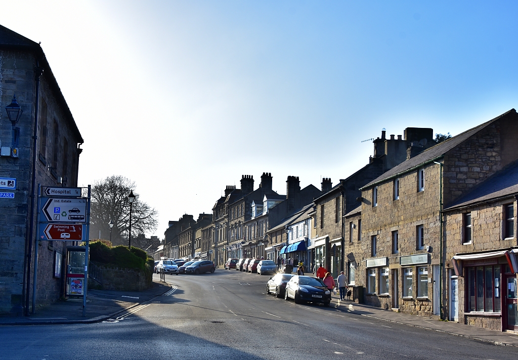 Rothbury High Street © essentially-england.com
Stage 3 –
Rothbury to Warkworth 18 miles
The third leg of the St Oswalds Way is another long day, but more civilised as there are options to stop for refreshments and accommodation. If the 18-mile distance is too far, there is the option to split the stage and stay in Felton, which is about 10 miles from Rothbury.
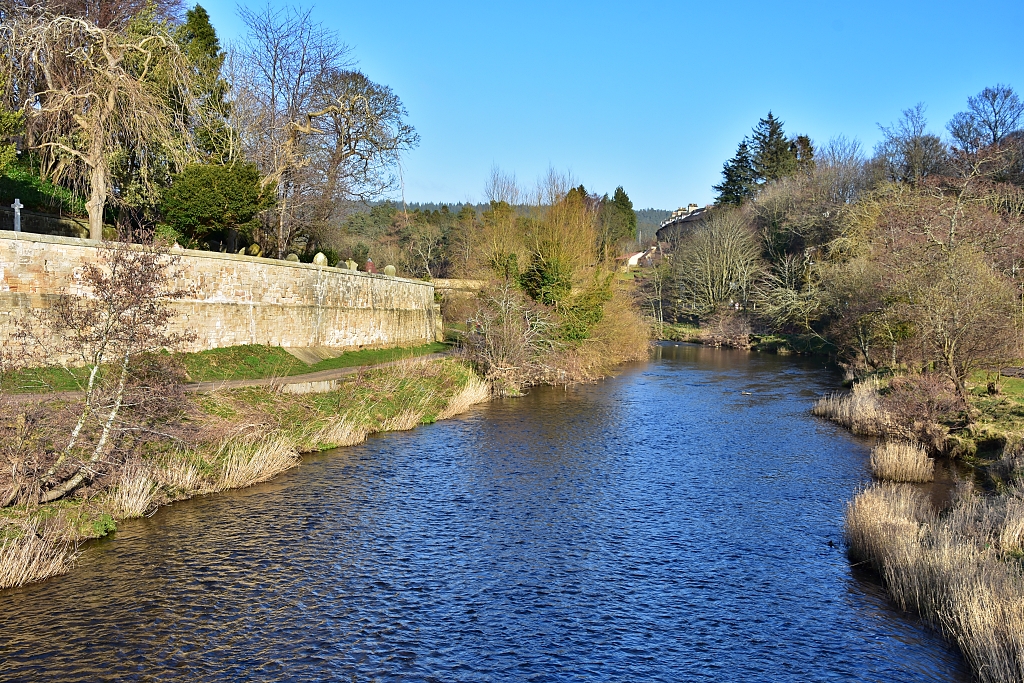 The River Coquet Flowing Through Rothbury © essentially-england.com
Initially, the route follows the River Coquet through the pretty Coquet Valley to Felton. Soon after Felton the path leaves the riverside and takes a more direct course across country to the stunning town of Warkworth and its great castle. Unfortunately, the way into Warkworth is not along the riverside and so misses The Hermitage, a priest’s house and chapel built into a rock face. For those on a pilgrimage this may be of great interest, and it is not too far away.
In Warkworth you have a choice of places to stay and eat.
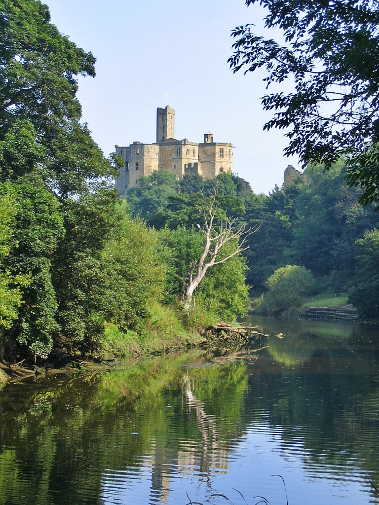 Warkworth Castle from the Bank of The River Coquet © essentially-england.com
Stage 4 –
Warkworth to Craster 14 miles
This is another stage that could be split to make the walking easier. In the quiet coastal resort of Alnmouth, about 5 miles from Warkworth, you'll find many options for an overnight stop, and it is such a beautiful place with a lovely beach, it would be a shame not to stay here!
Another option for an overnight stay is at Seaton Point, which is about 6.5 miles from the start.
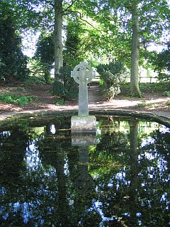
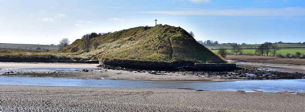 St. Cuthbert's Cross on Church Hill in Alnmouth © essentially-england.com
The St Oswalds Way leaves Warkworth and heads straight down to Warkworth beach to join the Northumberland Coastal Path and the glorious Northumberland coastline. The path follows the coastline in a northward direction, through sand dunes and around the Aln estuary to Alnmouth. In Alnmouth, look out for the colourful cottages of Lovaine Terrace, The Fisherman’s Hut which is possibly the smallest museum in England, Church Hill with St. Cuthbert’s Cross, and the lovely beach. There is also a choice of shops, cafés, and pubs for refreshment.
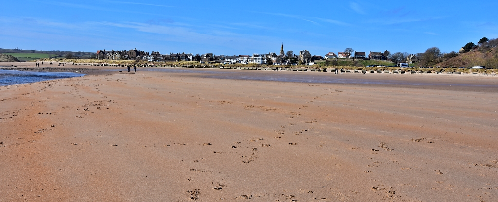 The View Back to Alnmouth from the Beach © essentially-england.com
The route leaves Alnmouth on a path that passes Alnmouth Village Golf Club, which is one of the oldest clubs in England. There is the option of walking through the dunes and along the beach, rather than using the footpath.
The walk continues past Seaton Point, through the village of Boulmer - where you can find a pub for food and drinks - and on towards Howick and the chance to explore a Stone Age settlement.
The finish line for this stage of the walk is the picturesque town of Craster, famous for its smoked kippers.
Stage 5 - Craster to Bamburgh 14 miles
This is yet another cracking days’ walk along the Northumberland coast. There are stunning sea views, castles, and wonderful beaches.
This part of the walk offers plenty of options to split the stage into shorter chunks and explore in more detail. Newton-by-the-Sea, Benthall and Beadnell, and Seahouses offer stops after about 5, 8, and 10 miles, respectively. There are also plenty of options for refreshments, but our favourite would be to wait until Seahouses. Treat yourself to fish ‘n’ chips and sit by the harbour to eat them.
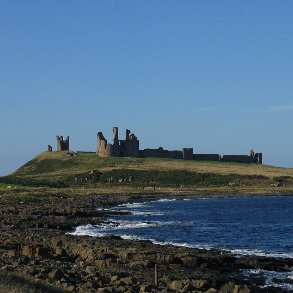
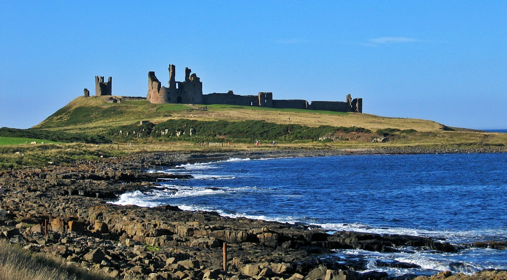 Dunstanburgh Castle © essentially-england.com
The route leaves Craster along the signposted path to our first castle of the day, Dunstanburgh. What a location, this ruined castle sits on a spit of land that juts out into the North Sea. It was once owned by the Percy family who still live in Alnwick Castle.
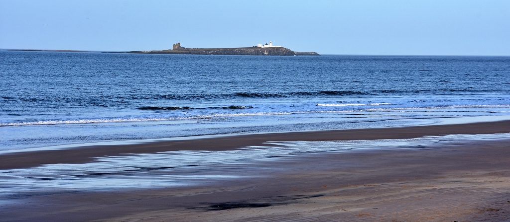 The Inner Farne Island from Bamburgh Beach © essentially-england.com
The coastal path continues through Low Newton-by-the-Sea and Beadnell to Seahouses. Along parts of this coastline, you can leave the path to walk on the beaches.
In Seahouses you can add a boat trip to watch the birds and seals on the Farne Islands. Here’s an Essentially England tip, if you do take a trip make sure that you wear waterproof clothing or a poncho as we got soaked from the water splashing over the boat!
From Seahouses the St Oswalds Way path leads inland until it loops back towards the coast and the day's finishing point in the beautiful village of Bamburgh.
Bamburgh is justly famous for its grand castle, and if you have any energy left, it’s well worth wandering around Bamburgh Castle and the beach as there are some great views.
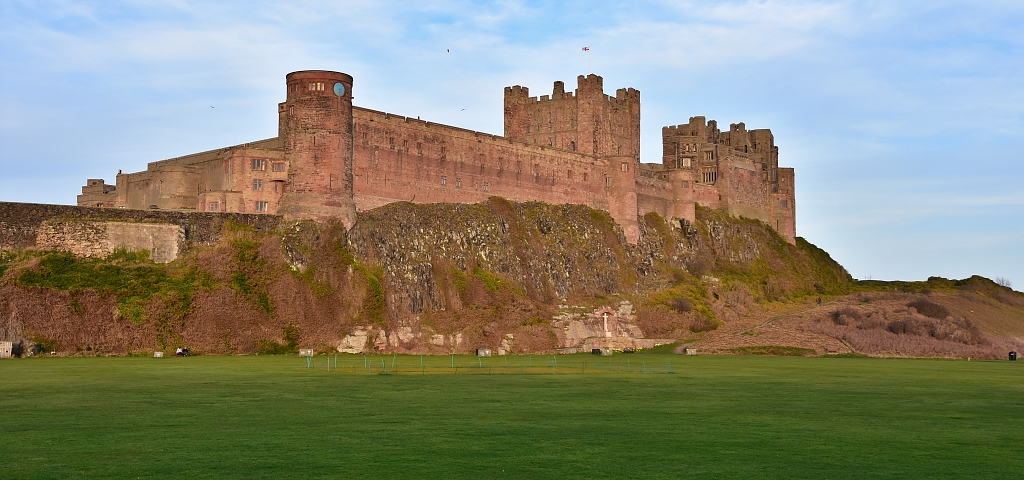 Bamburgh Castle from the Village Side © essentially-england.com
Stage 6 - Bamburgh to Fenwick 13 miles
The St Oswalds Way leaves Bamburgh and heads off to Fenwick, 13 miles away. This day’s walk could also be split into two parts as around the halfway point the route goes through Belford, which has a supermarket, pubs, and places to stay. This may also be a good idea if you want to visit St. Cuthbert’s Cave, which is about a mile away off the planned route and would make the walk 15 miles (ish).
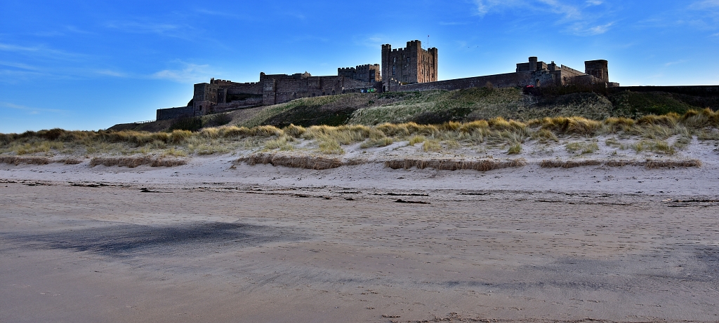 Bamburgh Castle from the Beach © essentially-england.com
The route continues along the coast, offering teasingly distant views over to Lindisfarne, our final destination.
As the path leads west, it leaves the coast and heads into rural countryside, crossing the main East Coast railway line and the A1 road before arriving in Belford.
Around three miles after Belford, the St. Cuthbert’s Way long distance walking path joins our route. I’m sure most would want to take the short diversion along St. Cuthbert’s Way to see the cave where the monks stayed with St. Cuthbert’s body on their way from Lindisfarne to Durham Cathedral for his burial.
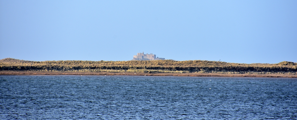 Far Reaching View of Lindisfarne Castle from Budle Area © essentially-england.com
Shortly after the St. Cuthbert’s Way junction, our path meanders through the Kyloe Hills, where there are more great views of the coast and Lindisfarne. Keep an eye out, as there is also a chance to spot red squirrels!
After leaving the trees and the squirrels, the path gently descends to the small village of Fenwick. There are a few B&Bs here, but no other facilities.
Stage 7 - Fenwick to Lindisfarne
I believe walking the St Oswalds Way in this direction saves the best bit to last. This is going to be a really special walk!
However, great care is needed along with a big dose of sense, as this can also be a dangerous walk.
The waters between the mainland and Holy Island are tidal, and the currents are strong. The crossing along the Pilgrims' Path following the wooden poles must be started as the tide is going out. You MUST check the tide times and calculate the time when you need to be at the causeway. Below is a short YouTube video about the Pilgrims Crossing to Lindisfarne.
Before you reach the causeway, there is nearly there miles of farmland walking that includes crossing back over the A1 road and East Coast railway line.
At the start of the Lindisfarne causeway, you have two options. The first is to follow the tarmac road, which is shared with all the vehicle traffic. It's safe enough, and comfortable walking, but for many who have followed St Oswald's Way this far, the pilgrims' route across the sand and mud is a must-do.
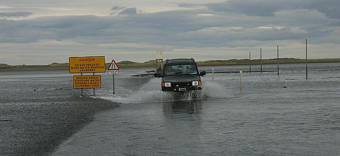 Near the Start of the Lindisfarne Causeway and Pilgrim Way © essentially-england.com
The Pilgrims' Way starts out along the road, but soon the marker poles of the walking route can be seen on the right. Follow the poles across the sand. Wading maybe required through any remaining pools of water. This might be the time to go barefoot!
There are two refuge huts on stilts along the way, but hopefully you've paid attention to the warnings and won't require them.
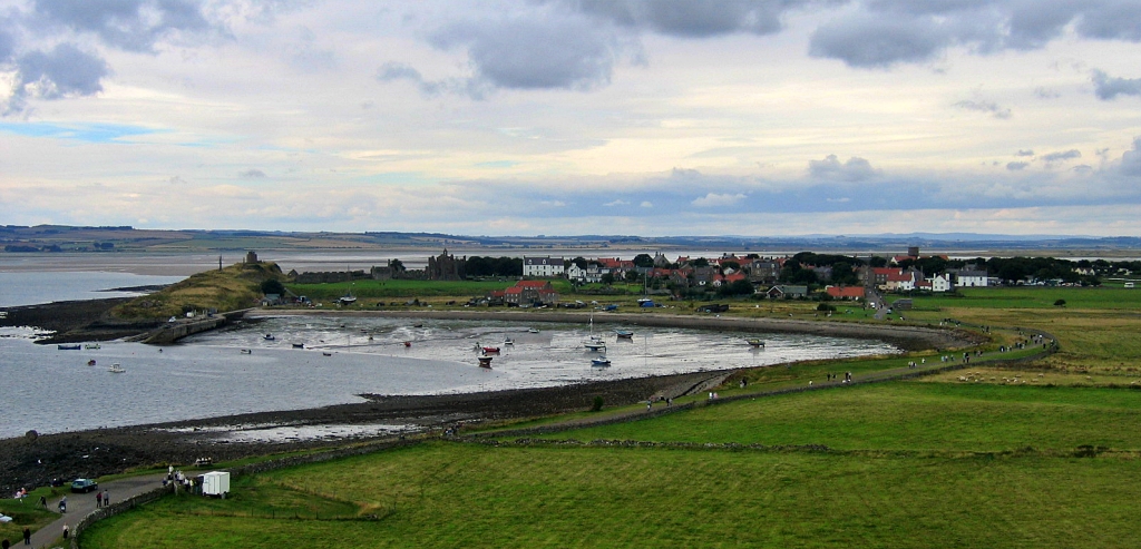 View Towards Lindisfarne Priory and Village from the Castle © essentially-england.com
And so, after a 3-mile trek across the sand and mud you get to the finish point of St Oswalds Way, Lindisfarne Priory. St. Aidan founded the priory on this land after it was given to him by King Oswald.
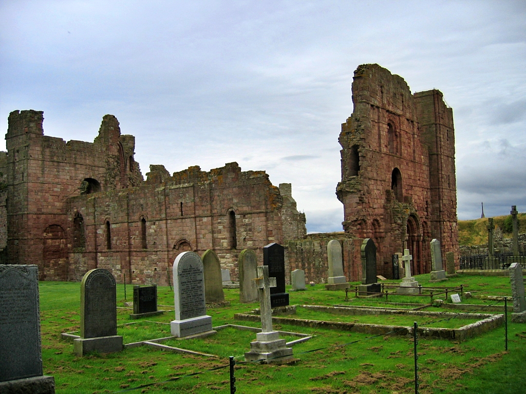 Our Finish Point of the St Oswalds Way - Lindisfarne Priory © essentially-england.com
Lindisfarne is a beautiful island with lots of nooks and crannies to explore. Take in its peace and tranquillity, and don’t rush away after spending so much time getting here.
When you’re ready to leave, there is a bus service back to the mainland.
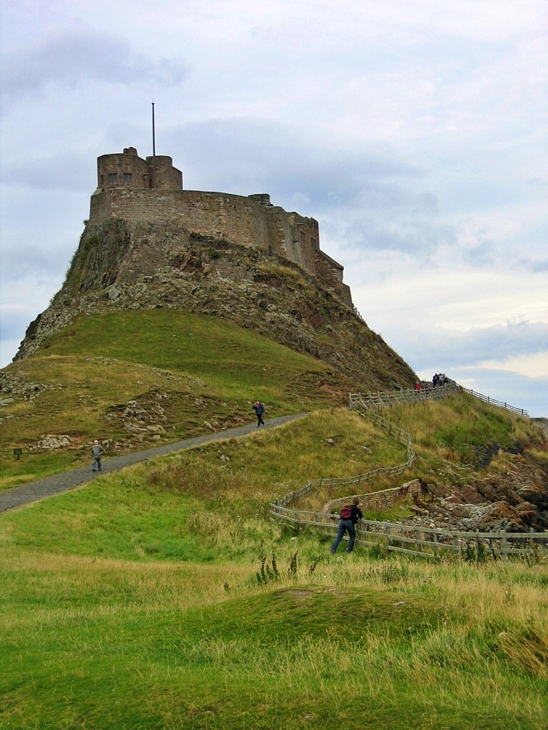 Lindisfarne Castle © essentially-england.com
And finally, an apology.
This article is meant to help readers searching on Google for this walk. Google - and filenames - struggle with apostrophes, which is why you'll see me using both St Oswald's Way and - cringing every so slightly - St Oswalds Way in the text, to make sure Google knows what we're talking about and which readers to connect us with.
Are You Planning to Visit Northumberland?
Where You Could Stay
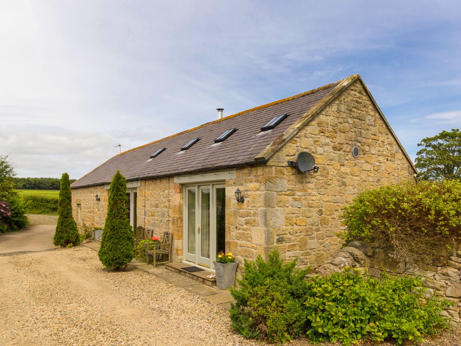
There's a reason Northumberland is one of my favourite English counties. Its landscape is utterly gorgeous with long beaches and empty sweeps of hills that just beg to be walked. In between you can find small towns and pretty villages, conntected by lanes that are great on the bike as long as you have the legs for climbing. And there are holiday cottages to suit all tastes and budgets.
To see other holiday cottages in Northumberland click here. Or check out holiday cottages in other parts of England by clicking here.
Or you could try a family orientated Parkdean Resort in Northumberland.
If you need to find a hotel, then try one of these search platforms...
What You Could See and Do
Even if you stayed a month, you'd find that you don't have enough time to explore the county top to bottom and see everything it has to offer. There's plenty of history from Hadrian's Wall near Hexham to Lindisfarne in the north with reams of castles and ruins in between. There are beaches and seaside towns like Craster, Alnmouth and Seahouses - and some of the best fish & chips in all of England. There are market towns like Haltwhistle, Rothbury, Bellingham, Berwick, Warkworth and Harbottle to explore. And there are hillsides to climb and the great outdoors to enjoy.
Are you feeling in need of a holiday yet? Here are a few more pages that might give you ideas...
- Hadrian's Wall
- Berwick-upon-Tweed
- Alnwick Castle
- The Holy Island of Lindisfarne
- Take a stroll on the beach at Alnmouth
- Visit Alnwick with its famous castle and the cosy Barter Books bookshop
- Warkworth Castle
- Dunstanburgh Castle
- Cycling in Northumberland - my favourite tandem tour EVER!
- Spend the day exploring Cragside, near Rothbury, the worlds first home to have lighting powered by hydro-electricity
- Walk the St. Oswald's Way starting from Heavenfield and finishing at Lindisfarne
And if you want to explore more of Northumberland and its martial history, check out this Northumberland Castle Tour.
For more Northumberland ideas return from St Oswalds Way to the Northumberland page.


