Welland Valley Viaduct Walk
When I start
planning a walk, I like it to have a special interest. This could be a location of historical interest,
something unusual or quirky, or great landscape. Our Welland Valley Viaduct
walk kind of fits into all three categories, but the star of the show is the Welland
Viaduct itself. Also known as the Harringworth Viaduct, it is England’s longest brick-built railway
viaduct that crosses a valley. Yes, it's so long they named it twice!
Our 4.5-mile walk starts from the pretty village of Harringworth in northeastern Northamptonshire, close to the Rutland border. I found the walk on the very popular northamptonshirewalks.co.uk website and modified it very slightly to avoid passing through a stable yard when leaving Harringworth. If you’re local to Northamptonshire, or here as a visitor, and are looking for countryside or villages walks, then they have over two hundred walks with excellent written and photographic instructions.
This circular route includes two attractive villages which could offer refreshments when their pubs are open, field, riverside, and some road walking. The footpaths are well marked, and the terrain is not too hilly, with just a couple of slight drags. The viaduct dominates the valley and as the walk circles round the views of the viaduct get better and better until, right towards the end, the route passes under the viaduct.
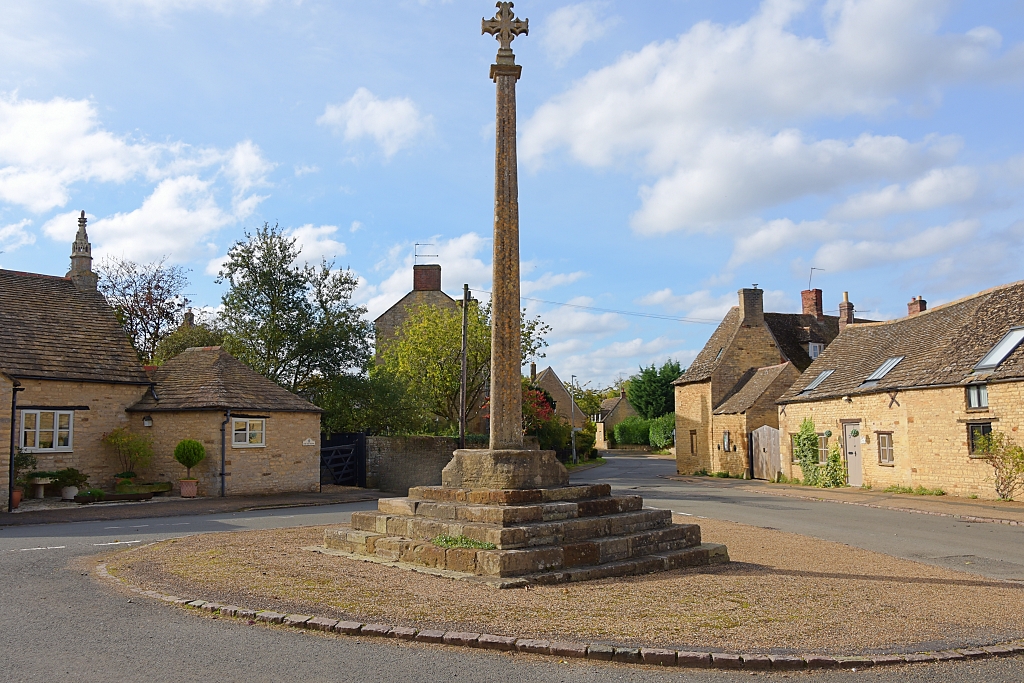 The Medieval Market Cross in Harringworth © essentially-england.com
Welland Valley Viaduct Walk Map
I’ve mapped the walk on the mapping software I use so that I could follow the route with voice instructions on my phone and using a gpx file on my GPS device. If you want to download the gpx file for this Welland Valley Viaduct walk, then use the “Discover more info about this tour” link, or if you use Komoot.com, then you should be able to follow the route on your mobile device.
There’s not much off-street parking available in Harringworth, but we did find a spot in the small village hall car park off Gretton Road. Otherwise park carefully on one of the streets making sure your parking doesn’t block any access.
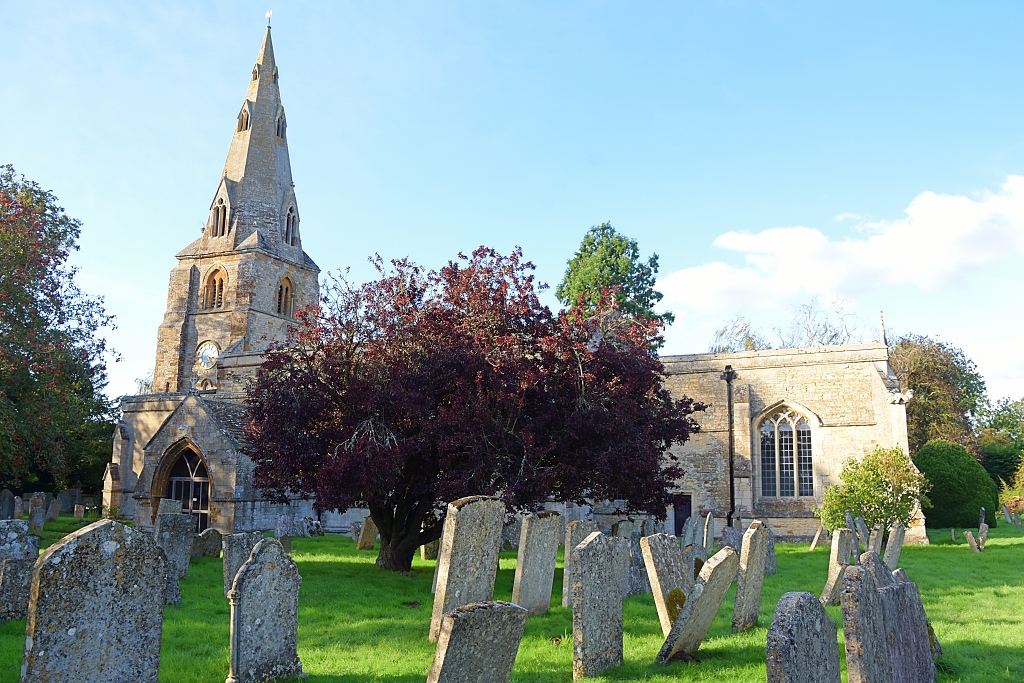 The Church of St. John the Baptist in Harringworth © essentially-england.com
The Welland or Harrington Viaduct
The Welland Viaduct carries the Oakham to Kettering railway line over the Welland Valley between Harringworth and Seaton. In the picturesque valley, the River Welland wends its way to the Wash almost sixty miles away. The river and its flood plain presented a large obstacle to the Midland Railway who started building the 17-mile railway line in the late 1870’s.
The viaduct was designed by William Henry Barlow and is 1,275 yards long. It has 82 arches, with each arch having a 40 feet span, and the tallest arch being 60 feet. The first of nearly thirty million bricks used in the viaduct's construction was laid in March 1876 and the viaduct was completed in 1878. At its peak there was a workforce of 3,500 people.
The first passenger trains crossed the viaduct on the 1st of March 1880. Traffic continued until the Beeching cuts took effect in 1967, although freight trains were unaffected. In 2009 scheduled passenger trains began to use the viaduct again and, on the odd special day, there may be a chartered steam train!
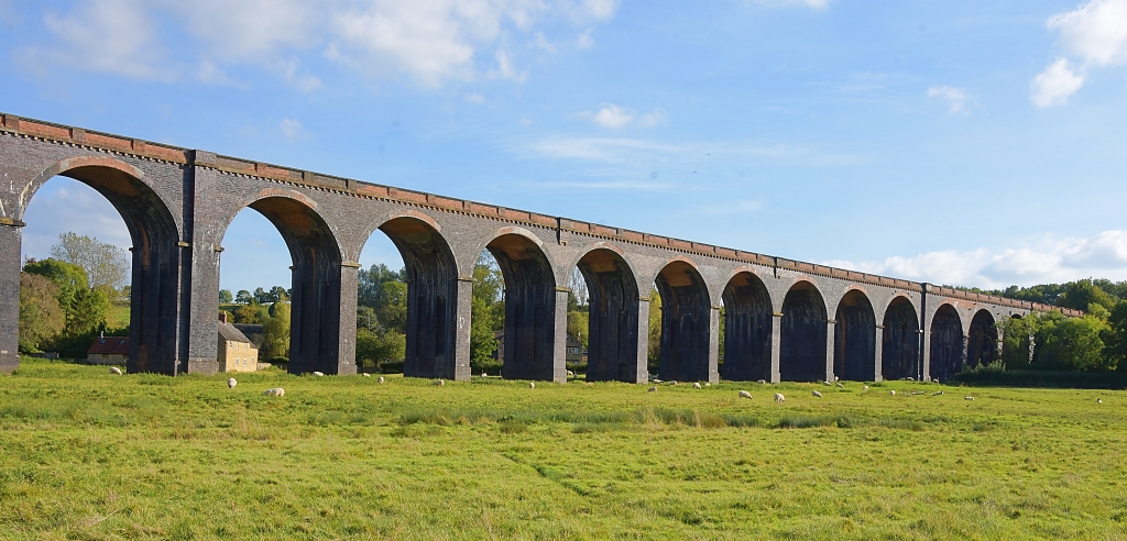 Welland Viaduct © essentially-england.com
Welland Valley Viaduct Walk Instructions
Our walk starts outside the Grade I listed Church of St. John the Baptist. The church is usually unlocked and it’s worth having a look inside.
The earliest part of the church is the twelfth century tower which has a spire from the fourteenth century. Much of the rest of the church is from the fourteenth and fifteenth centuries and was fully restored between 1886 and 1898.
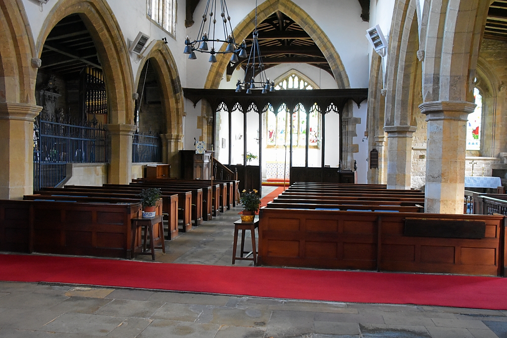 Inside The Church of St. John the Baptist in Harringworth © essentially-england.com
We left the church and followed along Seaton Road to its junction with Gretton Road and Wakerley Road. On the corner here is The Swan, the first of the pubs on the route. Turning left, we joined Wakerley Road and went past the medieval market cross on our right, stable on our left, to find a footpath sign on our left at the start of a driveway to The Old Manor Cottage.
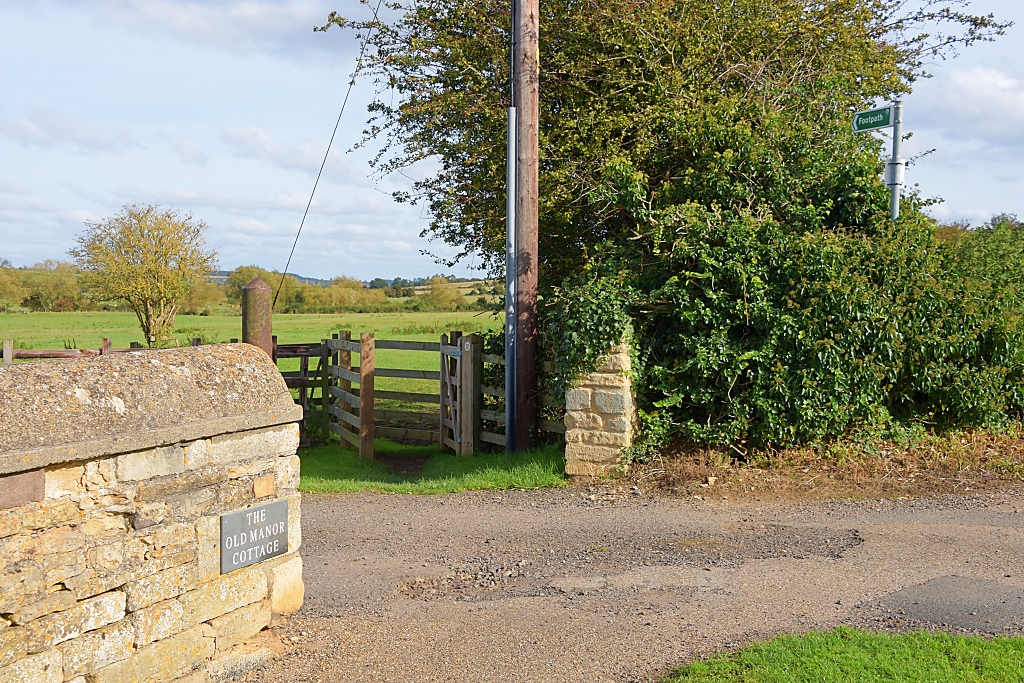 Footpath Leaving Harringworth © essentially-england.com
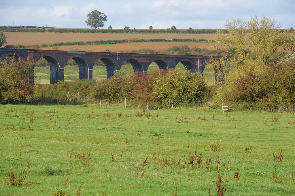 First View of the Welland Viaduct © essentially-england.com
Passing through the wooden kissing gate, we entered a grassy field to leave Harringworth. There were a few horses in the field, but they took absolutely no notice of us. The well-worn path heads diagonally across the field to a farm track. Although you’ll be looking forward to see where you’re going, we do recommend that you turn around and look back towards Harringworth as you will get your first glimpse of the Welland Viaduct.
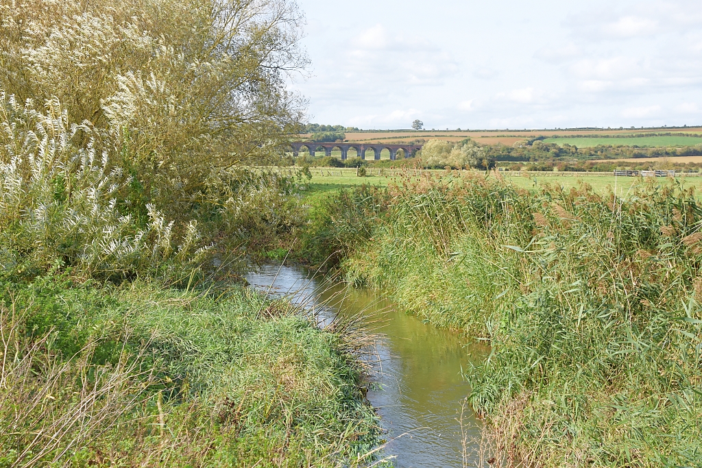 The River Welland and Welland Viaduct © essentially-england.com
Leaving the field through a wooden gate, we crossed a farm track to a wooden bridge in a gap in the hedge and continued on the footpath to meet the River Welland. We followed the twists and turns of the river for around a mile until the path met a distinctive Grade II listed bridge which goes by the name of “Turtle Bridge”. They are plenty of wonderful views along this stretch of the route and a good chance to see some interesting wildlife.
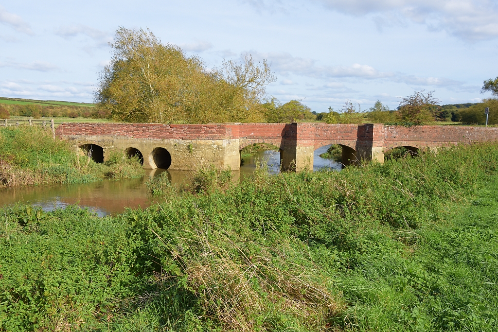 Turtle Bridge Crossing the River Welland
 © essentially-england.com
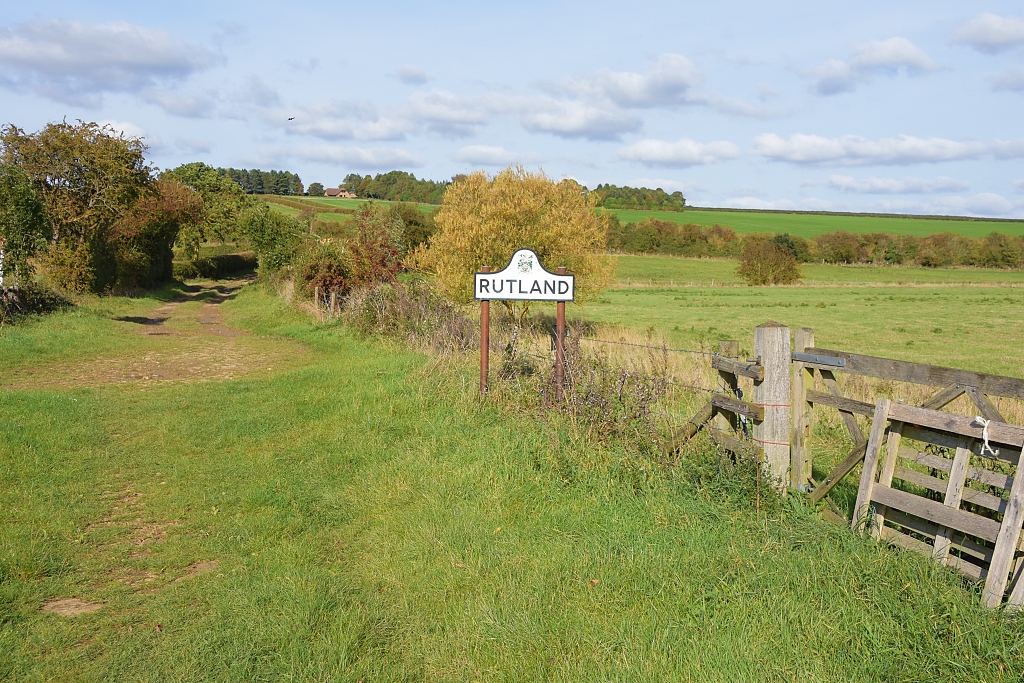 The Footpath Crosses County Border into Rutland
 © essentially-england.com
After taking some time to absorb the beauty and tranquillity of this spot, we crossed Turtle Bridge to a wide farm track that took us across the county border into Rutland. The track passed over a disused railway line and started to climb gently to a road. Towards the top of the drag there are fine views of the Welland valley and viaduct.
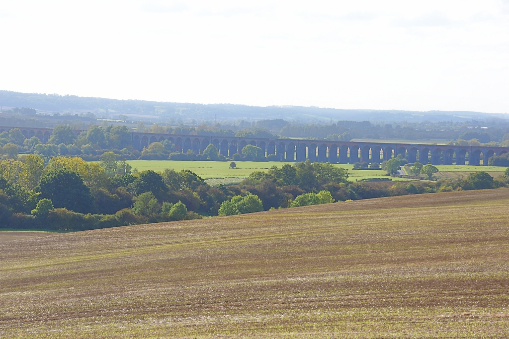 A Hazy View of the Welland Viaduct Crossing the Valley © essentially-england.com
Taking the turning to Seaton, the road ramped up, crossed a disused railway line and soon, after a sharpish left-hand bend, passed a field gate on the left where you get a stunning view of the viaduct. It’s worth taking a breather here to capture a nice photo, although I believe a little further on there is an even better landscape!
Once we’d caught our breath, we continued up the hill until the road started to flatten out and the spire of Seaton Church could be seen ahead. Here we found another field gate from which there was another great view of the viaduct crossing the valley.
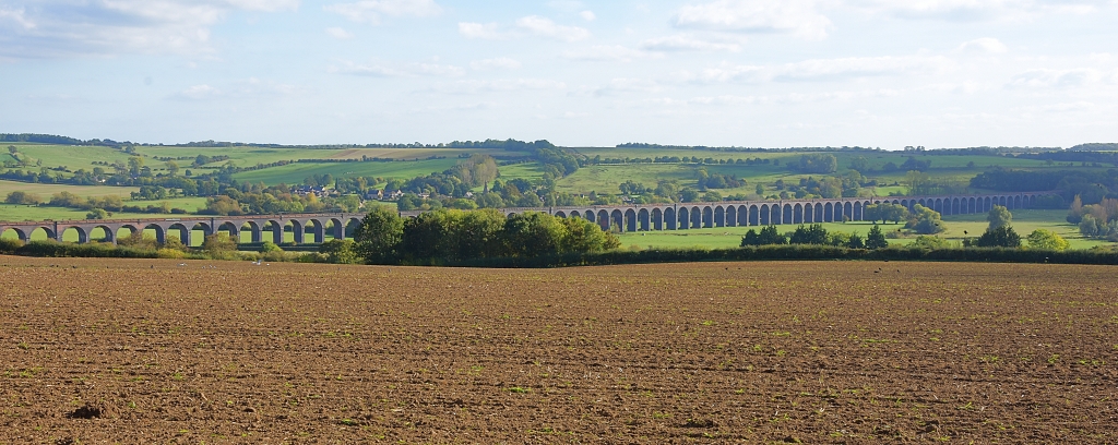 Welland Viaduct Crossing the Valley © essentially-england.com
Having taken our photos, we resumed our walk towards Seaton, going straight across at a crossroads on to Main Street and past The George and Dragon pub. We turned left to walk down Church Lane and stopped at All Hallows Church.
Seaton is an old village and was mentioned in the Domesday Book. There also must have been a church at the time as the listing cited a priest. Much of All Hallows Church dates from the twelfth and thirteenth centuries. The southern doorway even includes some older Norman features!
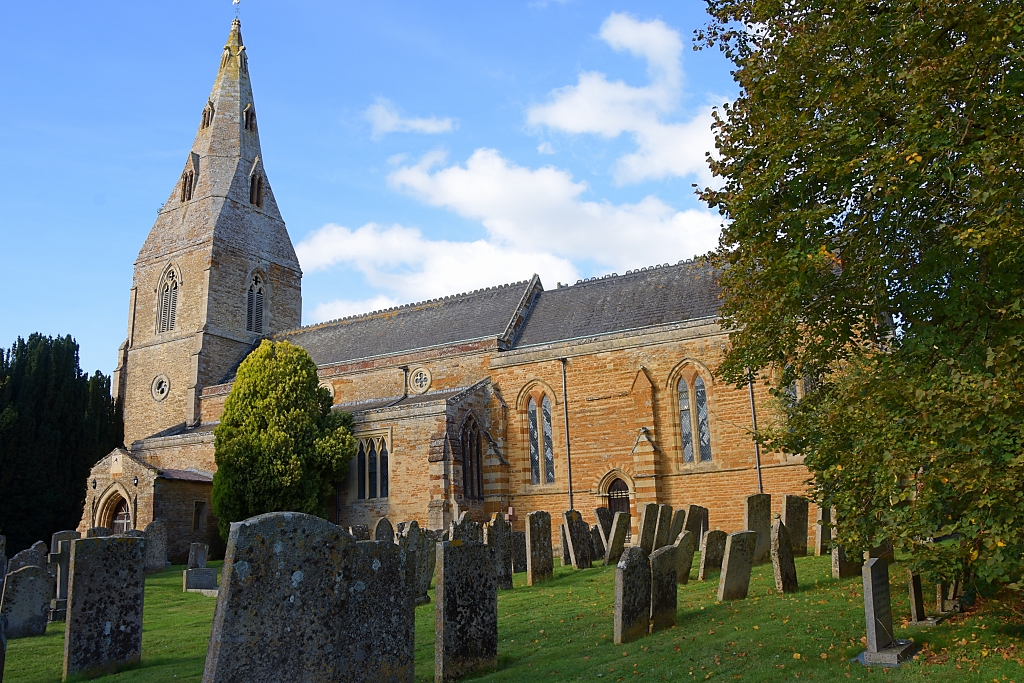 All Hallows Church in Seaton © essentially-england.com
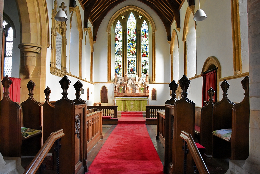 The Chancel of All Hallows Church © essentially-england.com
We continued down Church Lane and followed the direction of a footpath sign to the left as the road turned to the right. The route ran between houses and cottages and turned into a grassy path as we left the village.
The footpath descended through grassy fields and passed through several kissing gates. Again, there were some fantastic views of the viaduct!
At the bottom of the slope, we passed through another metal kissing gate and climbed some steps over what, perhaps, was an old railway embankment and down on to the B672 road.
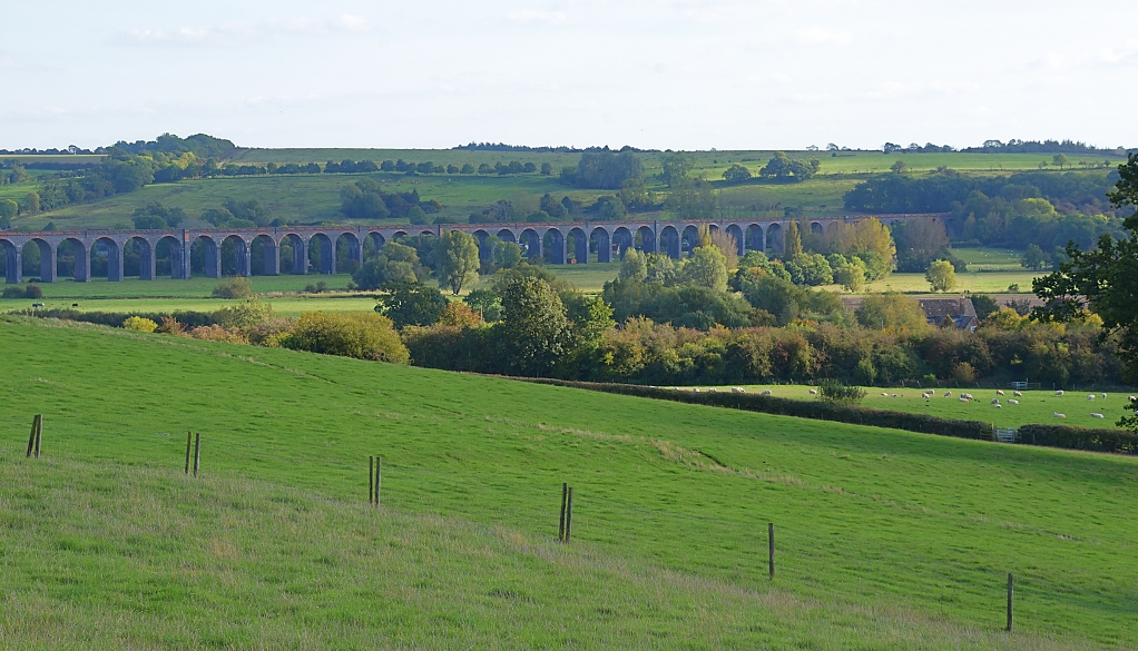 The Welland Viaduct © essentially-england.com
The next bit felt a little strange, but we followed the footpath sign on a wooden gate opposite that pointed straight ahead and took us down a private drive towards a house. Just before reaching the house, we turned left and followed a wooden fence. Part way along this fence was a gate and the footpath signs guided us through the gate and along the other side of the fence which took us round to the back of the house and to a gated wooden foot bridge.
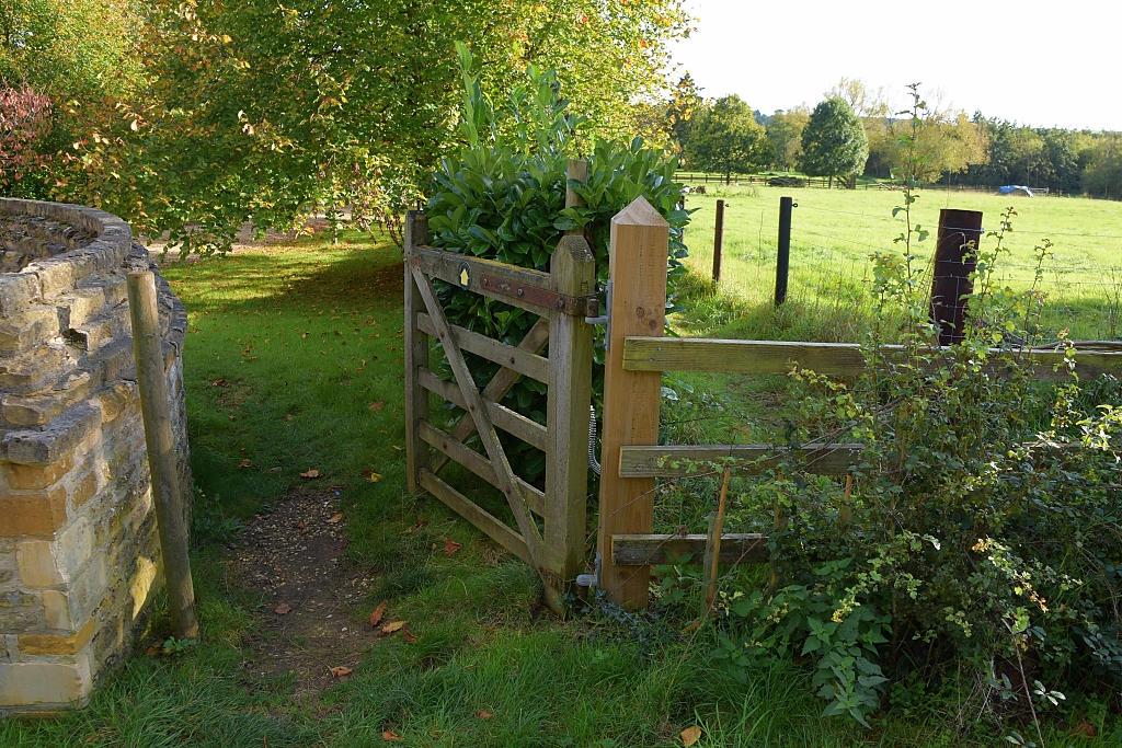 Gate to Driveway on Welland Valley Viaduct Walk © essentially-england.com
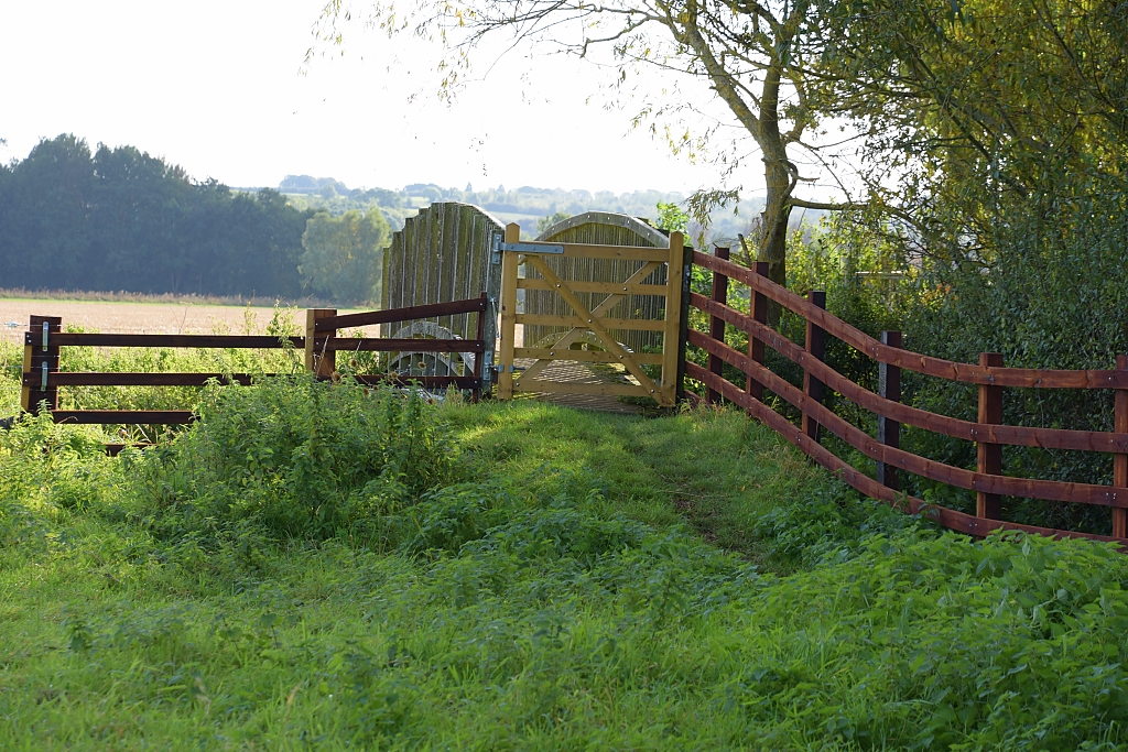 Gated Wooden Bridge © essentially-england.com
After crossing the bridge, the footpath signs directed us across fields via another wooden bridge to a partially fenced concrete bridge over the River Welland. We turned left and followed the riverbank for a short while, and just as the river twisted left, we crossed the field straight towards the viaduct which was now right in front of us!
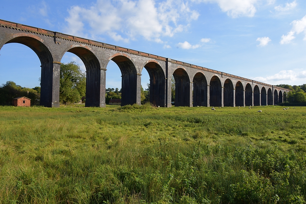 Getting Up Close to the Welland Viaduct © essentially-england.com
We went through a wooden gate right next to the viaduct and walked beneath it next to pillar number 26. From there we followed the footpath signs that took us between gardens back to the church.
This is a fantastic walk and gives you so many different views of the Welland Viaduct. It may not be possible to do this walk after heavy or long periods of rain as the River Welland does flood here!
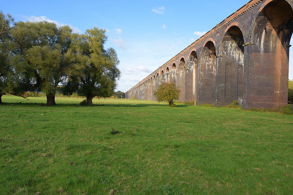 Welland Viaduct Disappearing into the Distance © essentially-england.com
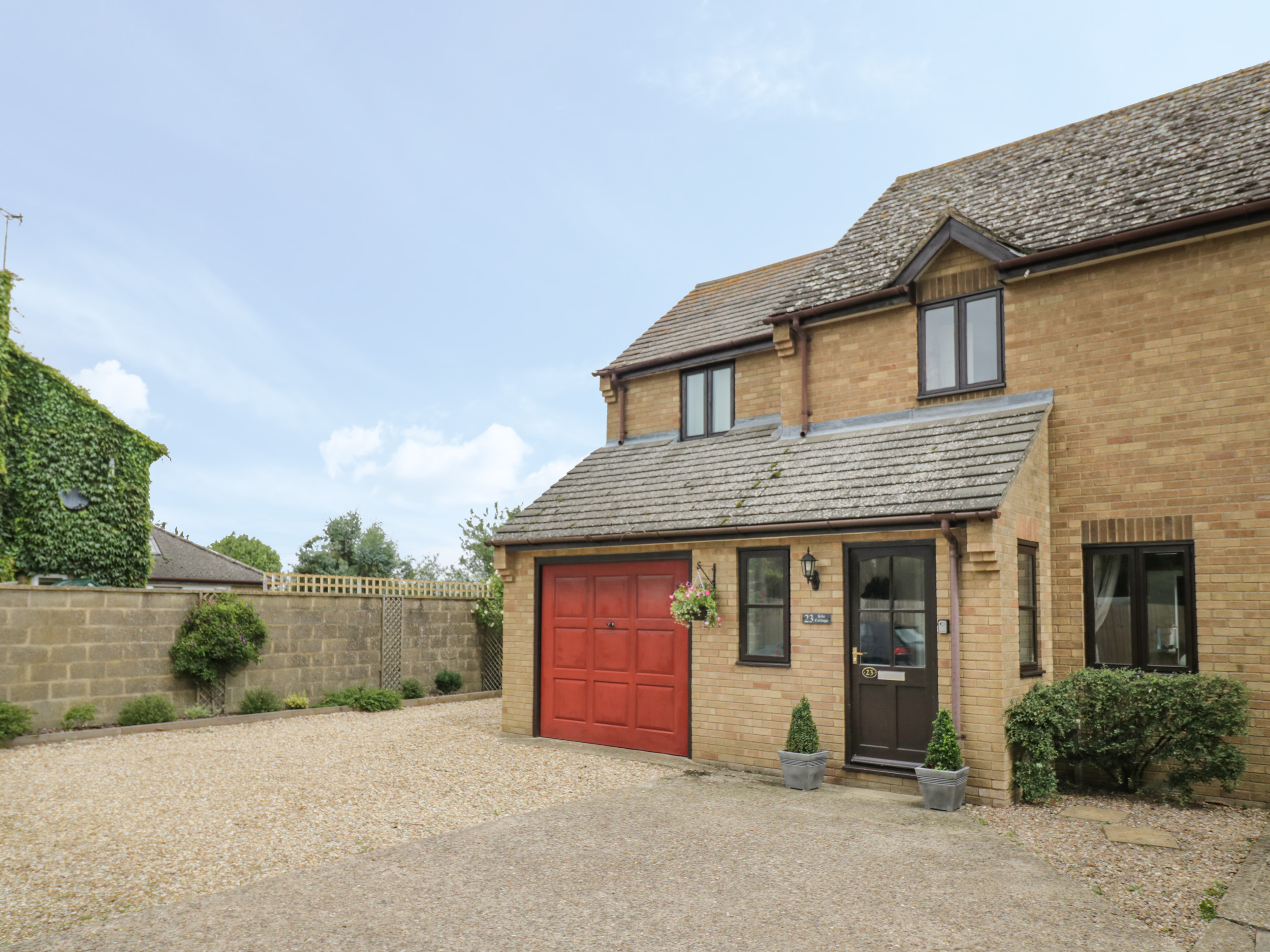
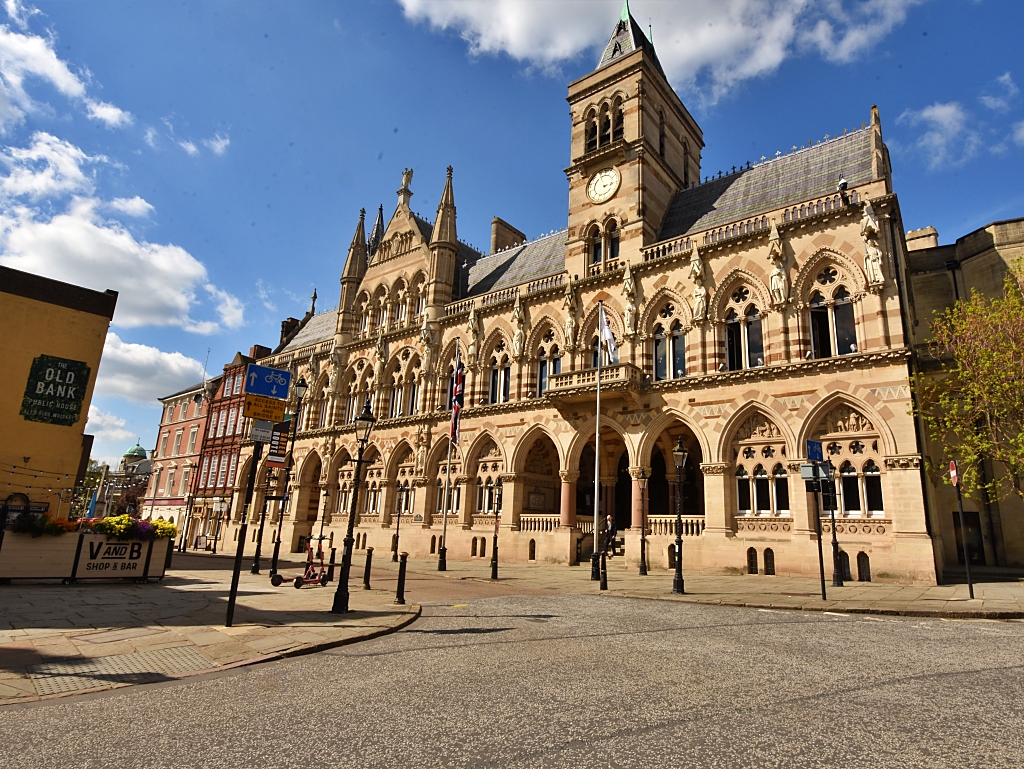
Northamptonshire Holiday Cottages
Northamptonshire is a largely rural county in the centre of England, renowned for shoemaking, stunning countryside, and very pretty villages. It makes a great place for walking and cycling and is ideal for a relaxing holiday or short break.
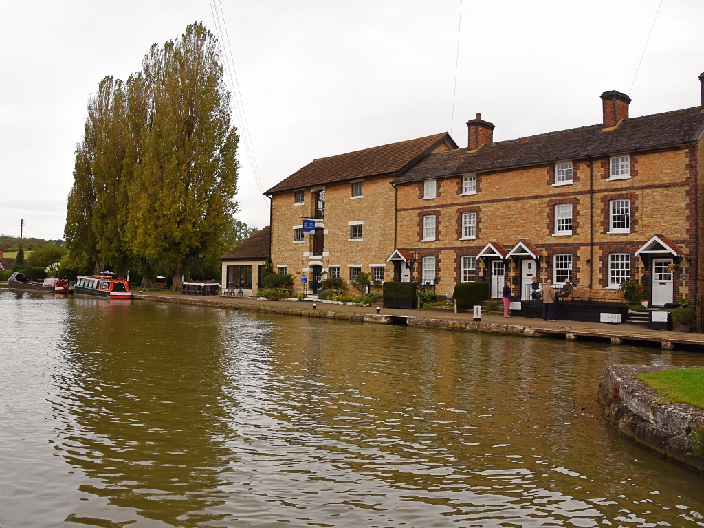
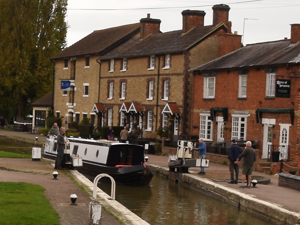
Below, we've collected some holiday cottage ideas. Personally, I would love to stay in Stoke Bruerne, right next to the canal. Stoke Bruerne is a friendly, pretty village with a couple of pubs, an Indian restaurant, and easy walking from the door.
To browse holiday cottages in other parts of England click here, or you could use our Booking.com search box.
