Braunston Canal Walk
A Walk Around the Oxford and Grand Union Canals
I’m not sure what it was, but this stunning 6-mile Braunston canal walk made us feel like we were on holiday, never mind that we were only 20 miles from home! Perhaps it was the weather - it was sunny and about 17 C - or it may have been the interest around the walk, or possibly the charm of Braunston. Since the Covid pandemic, we've started choosing walks along the canals near our home. We’ve found them so relaxing and easy to walk that now it seems that every walk includes a stretch of canal. So, you can guess what’s involved on this walk!
The village
of Braunston grew up around the junction of the Oxford and Grand Union canals. This was a major connection on the canal
network that criss-crossed England and allowed a faster, straighter route to
and from London. In its heyday, the area would have been buzzing with boats travelling up and down the canals, and with carts picking up and delivering goods to the jetties. With the canal traffic replaced by railways and lorries, the area has grown quieter, but it certainly hasn't gone to sleep!
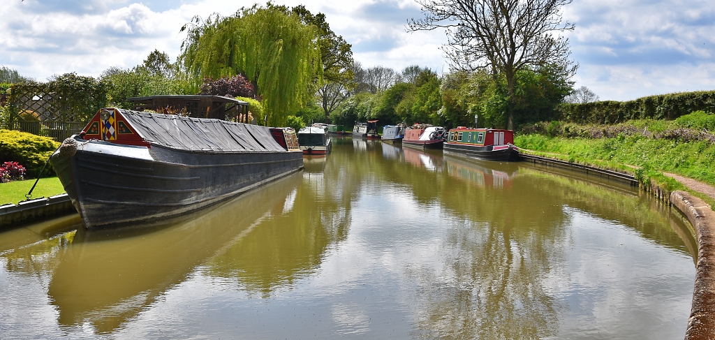
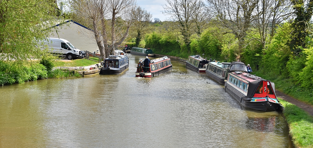
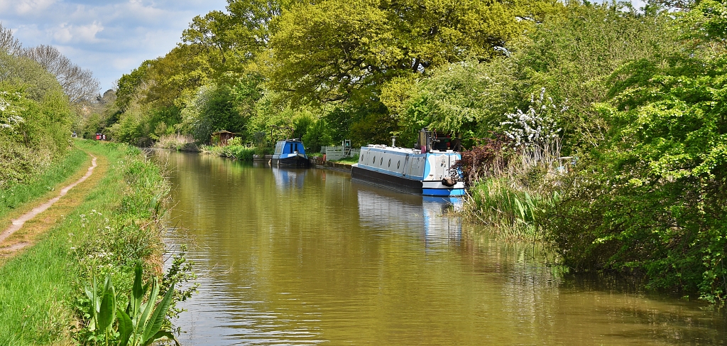
This walk is a gentle, easy one that explores Braunston and parts of the Grand Union and Oxford canals. There is plenty of interest around our Braunston canal walk as here the canals are rich in wildlife and history. The junction between the Oxford and Grand Union canals is still an important section of waterway, so there is plenty of action on the water too!
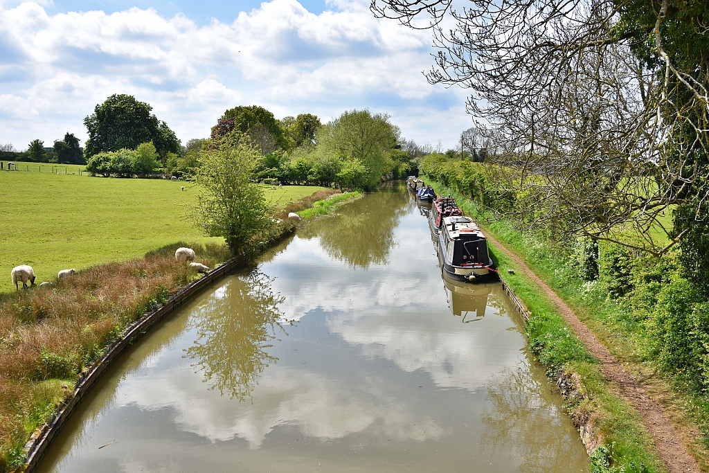 Crossing the Oxford Canal at the Start of our Braunston Canal Walk © essentially-england.com
Also, to make your day out even better, there is a choice of waterside pubs, a canal boat café, a shop that sells ice creams and drinks and benches to rest on to watch the world pass by!
Our Braunston Canal Walk
Our walk starts from All Saints Church, which just happens to be on Church Road and was also where we parked. Opposite the church, and just before the row of houses start is a stile that takes you into a field which slopes down to the Oxford Canal. Walk slightly left going down the slope, through a wide gate, and cross a brick canal bridge. Stop and take in the views along the canal.
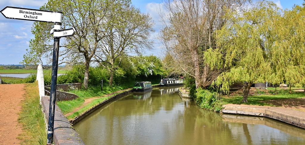
Turn left to join the canal towpath and walk towards the A45 bridge on the right-hand side of the canal. Pass under the A45 road and shortly after reach a double iron bridge at the “Braunston Turn”. This is the junction between the Oxford and Grand Union canals and was created in 1834 after the Oxford Canal was re-routed and straightened on this section that goes to Napton, Banbury, Oxford, and London via the River Thames.
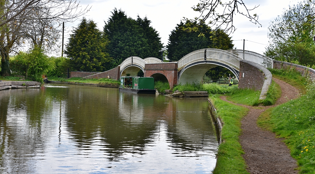 The Two Iron Bridges at Braunston Turn © essentially-england.com
Cross the iron bridges and continue along the Grand Union Canal to the next A45 road bridge. Just before the bridge, there is a tarmac track that passes a few houses. Cross a cattle grid and continue straight along the track, ignoring the turn on the right to the sewage treatment works.
The track crosses a rather bumpy grass field. On the right is the site of the abandoned medieval village of Braunstonbury, and on the left the Oxford Canal once twisted its way through this field until it was re-routed.
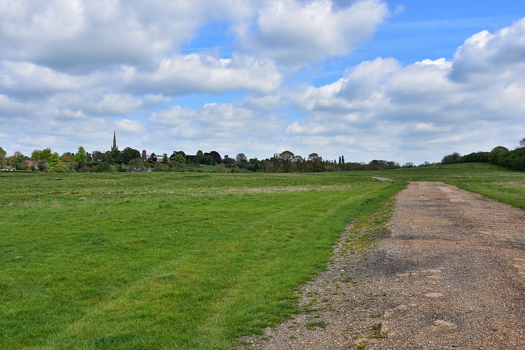 Looking Back to Braunston, on the Left an Old Medieval Village, and on the Right the Old Oxford Canal Route
 © essentially-england.com
The easy-to-follow track continues, across a bridge over the River Leam and from Northamptonshire into Warwickshire. It passes the rather neglected fourteenth century St. Peter’s Church, which is famous for its candle-lit Christmas service. Opposite the church is the site of Wolfhampcote, another abandoned medieval village and manor house. Further along, the track passes a ruined medieval tithe barn on the left and a house by a gate across the track. Pass through the gate and on the right is the seventeenth century Wolfhampcote Hall.
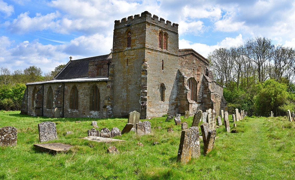 St. Peter's Church © essentially-england.com
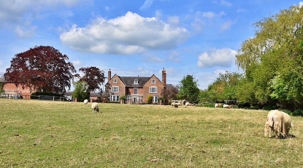 Wolfhampcote Hall © essentially-england.com
Shortly after passing the Hall, the track crosses a short tunnel of the old Oxford Canal route. You should still be able to see water in the old canal. Also, just imagine how twisty the Oxford Canal must have been! Earlier, we saw the old route disappearing in the other direction.
Follow the track, ignore any other paths or roads, until we reach a bridge. This bridge crosses the old Great Central London, Leicester, and Manchester train line.
The track continues to another bridge, called Ivy Bridge by the locals, that crosses the Oxford Canal. Cross the bridge and turn left to descend the steps to the towpath.
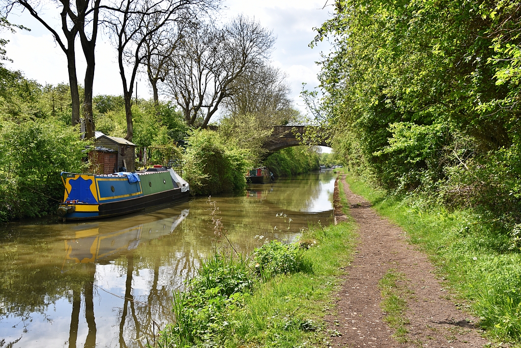 Looking Back Towards Ivy Bridge on the Oxford Canal © essentially-england.com
On joining the towpath, turn left and continue back to Braunston Turn. Along the way there are lovely views towards the church and windmill in Braunston. Sadly, though, I was a little disappointed with the aqueduct along this section of the canal as it passes over the River Leam. I was hoping for a nice clear view, but in truth you see nothing of the aqueduct and wouldn’t even know that you had crossed it!
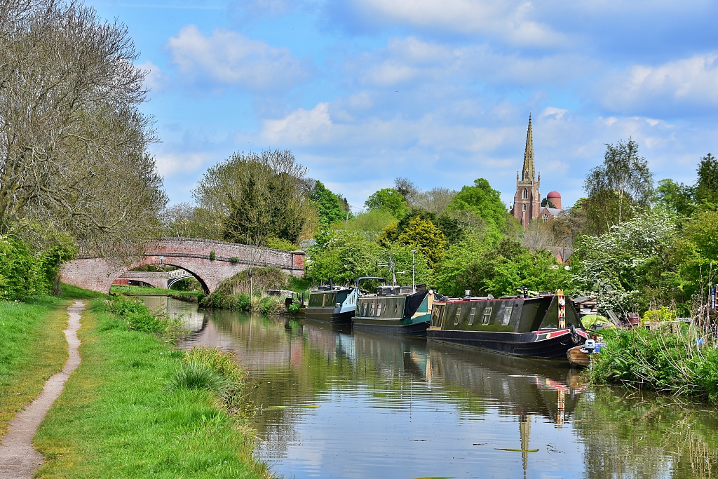 The View to the Church and Windmill from the Oxford Canal During our Braunston Canal Walk
 © essentially-england.com
At the canal junction, turn right and cross the two iron bridges again. This completes the first loop of our Braunston canal walk, which is about 2.5 miles in length.
Follow the Grand Union towpath, ignoring the right turn we took earlier, under the A45 bridge and on towards Braunston Marina. Stand on the bridge over the entrance of the marina to get a good view. The original Oxford Canal would have joined the Grand Union at this point.
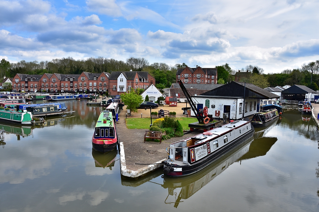 Braunston Marina © essentially-england.com
The marina looked busy when we passed, but just imagine it back in the late 1700s and into the 1800s, when this would have been a hive of activity at the junction of these two important canals. There would have been boat repair shops, warehouses, blacksmiths, stables, inns, and workers' homes all around here. Think of all the noise, smoke, and smells.
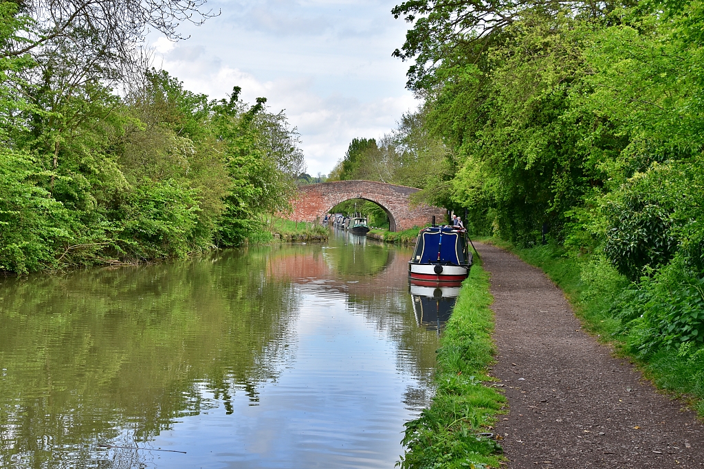 The Grand Union Canal
 © essentially-england.com
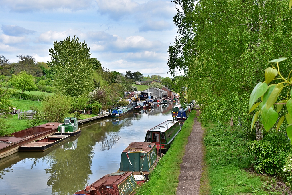 Industrial Area Along the Grand Union Canal
 © essentially-england.com
Continue along the towpath, under a brick bridge crossing the canal, to a narrow wooden bridge that crosses the entrance to what is now a second mooring area. This was built as a reservoir to store the water that escaped from the six Braunston locks, which we will come to shortly. It’s very pleasant walking along here. The canal is busy with boats, but the scenery is very green. This soon changes as we continue into a more industrial area. There are heritage buildings here that are still in use. The building with the tall chimney with the date 1897 on it was the pump house that pumped the water back up to the top of the flight of locks.
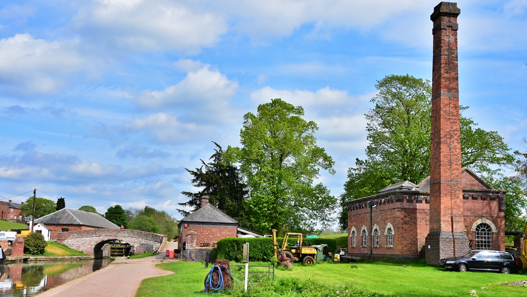 The Pump House next to Bottom Lock on our Braunston Canal Walk © essentially-england.com
Pass under the next stone bridge to reach “Bottom Lock”, which is the first of the six Braunston Locks that ascend a total height of 35.5 feet. The locks here were all constructed as double width locks. This is one advantage that the Grand Union Canal had over the narrow locks used along the Oxford Canal. As the canal is so busy, you will not have to wait long for some “lock” action, and you’ll get to understand how long it takes to pass through the lock. In the canal system's heyday, boats would have been queueing to get through the locks, and sending through two boats at a time would significantly shorten the boats' travelling times.
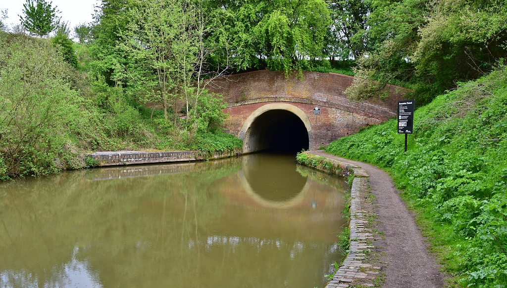 The Entrance to Braunston Tunnel Where our Braunston Canal Walk Retraces Itself © essentially-england.com
Follow the canal towpath past all the locks and then onto the entrance of Braunston Tunnel. This brick lined tunnel is about 1.2 miles long and takes today's powered boats around twenty minutes to pass through. It was completed in 1797 and was built by navvies using picks and shovels whilst working by candlelight. Construction started at either end, but the two parts did not align, and the tunnel is famous for its “kink”. This unfortunate mistake led to the foreman being docked money from his wages!
As there is no towpath through the tunnel, the horses towing the boats were unharnessed and walked over the top of the tunnel, while “leggers” lay across the boat and used the tunnel walls to walk the boat through. Teams of leggers would wait at either end of the tunnel and would charge one shilling to take a loaded boat through. This all ended with the invention of steam powered tugs to pull the boats through.
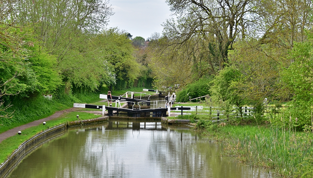 Braunston Locks on the Grand Union Canal © essentially-england.com
Our Braunston canal walk turns back here and we retrace our steps to the “Top Lock”. Cross the bridge and follow the track back towards Braunston. The track passes the Admiral Nelson pub, which used to be a farm, and predates the canal. Apparently, cows used to be milked in what is now the restaurant. The pub is also reported to be haunted by someone wearing black. The ghost could be from the old salt storage building beside the pub, which was also used as a resting place for the boat people who died.
Whatever its past, it looked a nice location for lunch and a beer!
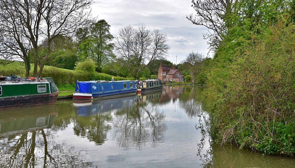 View Along the Grand Union Canal from near the Admiral Nelson Pub © essentially-england.com
Follow Dark Lane away from the pub until it turns sharply right. On the corner is a cattle grid and kissing gate leading into a field. Keep the tree boundary on your right and walk to the next kissing gate about 100 metres away. Pass through the gate and take the path towards the right and up into Braunston village. The path should bring you out opposite the village hall.
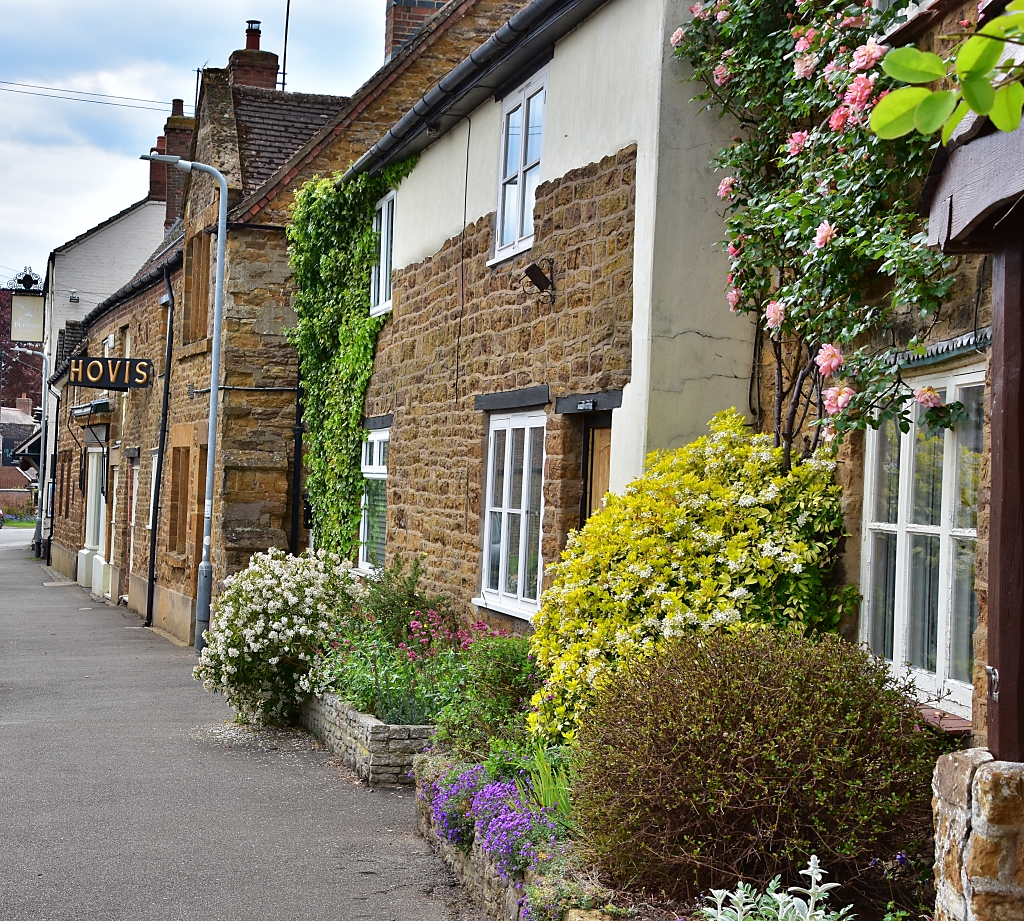 Braunston High Street © essentially-england.com
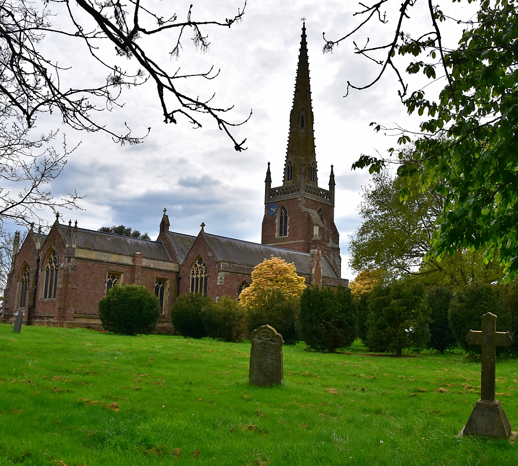 All Saint's Church © essentially-england.com
Turn left and along High Street back to the church where you can walk through the churchyard back to Church Street and the starting point. As you walk through Braunston, look out for some lovely buildings and a close-up of the windmill.
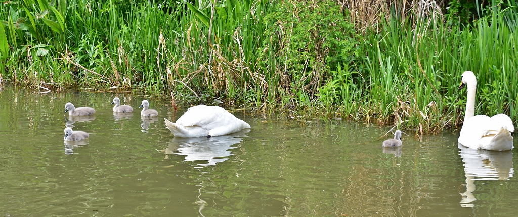 A Family of Swans Spotted During our Braunston Canal Walk © essentially-england.com
For more information about Braunston, the canal, and some walk ideas and maps, I used the Braunston village website.
We believe you'll enjoy this Braunston canal walk as much as we did. I know that we'll be back very soon for some more walking.
Fancy A Narrowboat Holiday Along A Canal?
Have our canal photos given you ideas about a narrowboat holiday or short break on the water?
The canal system in England and Wales is over two thousand miles long. There are plenty of different routes and circuits you could choose from, from cityscapes to quiet villages, or remote countryside. You can decide between an adventurous trip with locks and tunnels or a nice and easy float along a canal with no hassles. Below are some ideas...
Glyndwr
Cambridge
Sleeps 6
Narrow Escape
Tring
Sleeps 4
The Jubilee
Loghborough
Sleeps 4
We understand that not everyone wants to go racing off down the canals, but may still want to experience the canal boat lifestyle. So here are some narrowboats that are permanently moored.
