Fotheringhay Circular Walk
There are many reasons for stopping off in the pretty Northamptonshire village of Fotheringhay. For us - and many other visitors - the main draw is its rich history. Some visitors will be on a King Richard III pilgrimage as he was born in Fotheringhay Castle in 1452, and then there will be others following the path of Mary, Queen of Scots, since she spent her last days here, imprisoned in the castle after being found guilty of treason and executed. Although it played a large role in English history, very little has survived of the castle that once belonged to the Scottish kings before becoming a favoured resicence of the dukes of York and a state prison for Queen Elizabeth I. But this stunning little village still makes a great starting point for our 5-mile circular walk. And if history is not really your thing, then you will not be disappointed, as the walk visits two further beautiful villages and has many wonderful River Nene views.
Attracted by the history, we had previously stopped here on our way home from a holiday a few years ago. The village is pretty, stretching along a single road lined with old buildings, many of which are thatched. It appears very “English”, with its lovely old narrow bridge over the River Nene, and views of the castle mound on the right and over to St. Mary’s and All Saints Church on the left. The view from the river towards the church with its octagonal tower is a stunner and we recommend either walking down to the bridge, or stopping just before it, to take in the scene. So, with the promise of some exciting history, lovely rural Northamptonshire countryside, and a glorious sunny August afternoon we packed our sandwiches and set off for a little wander.
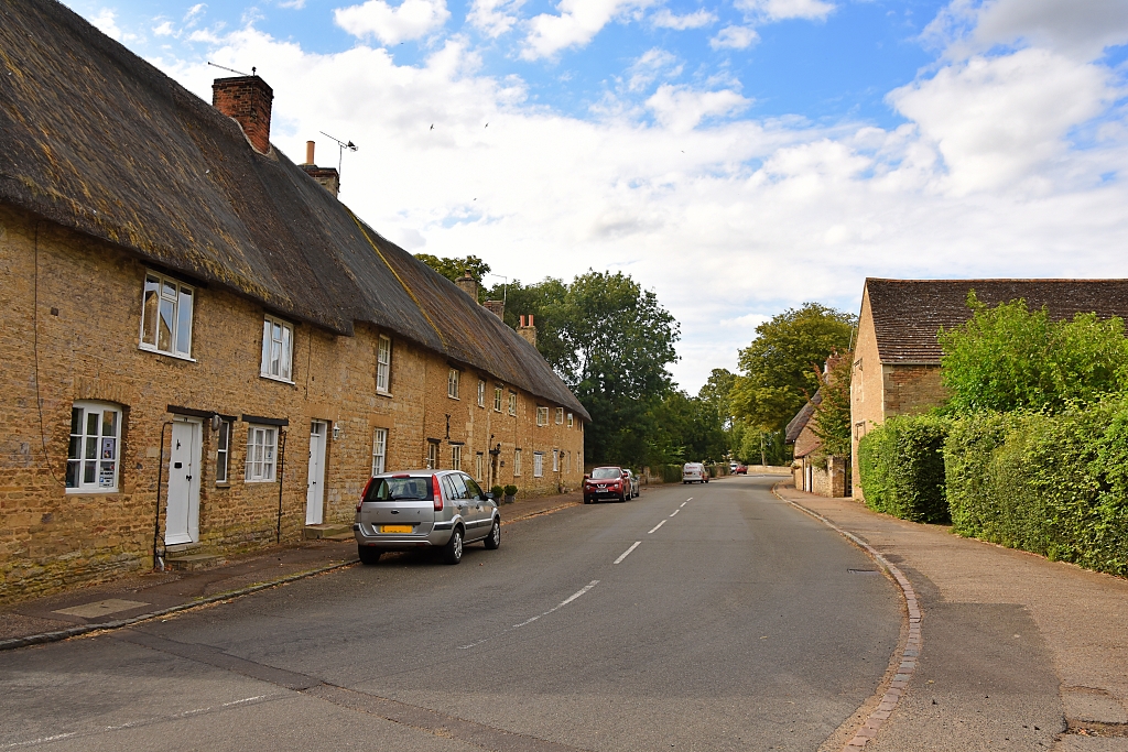 Thatched Cottages on The Road Through Fotheringhay © essentially-england.com
Fotheringhay Circular Walk Map
I found this circular walk on the very popular local walking group website called northamptonshirewalks.co.uk where there are hundreds of free walking routes. The walks all have well written and photographic instructions making them easy to follow for non-map-readers. I’ve taken their written instructions to map the walk on the mapping software I use so that I could follow the route with voice instructions on my phone and using a gpx file on my GPS device. If you want to download the gpx file for this Fotheringhay circular walk, then use the “Discover more info about this tour” link, or if you use Komoot.com, then you should be able to follow the route on your mobile device.
We parked on the roadside just before the church, but I could imagine this may get busy if there is a service on. If you’re going to stop for refreshments at the Falcon Inn, then you could leave your car in their car park and walk to the church.
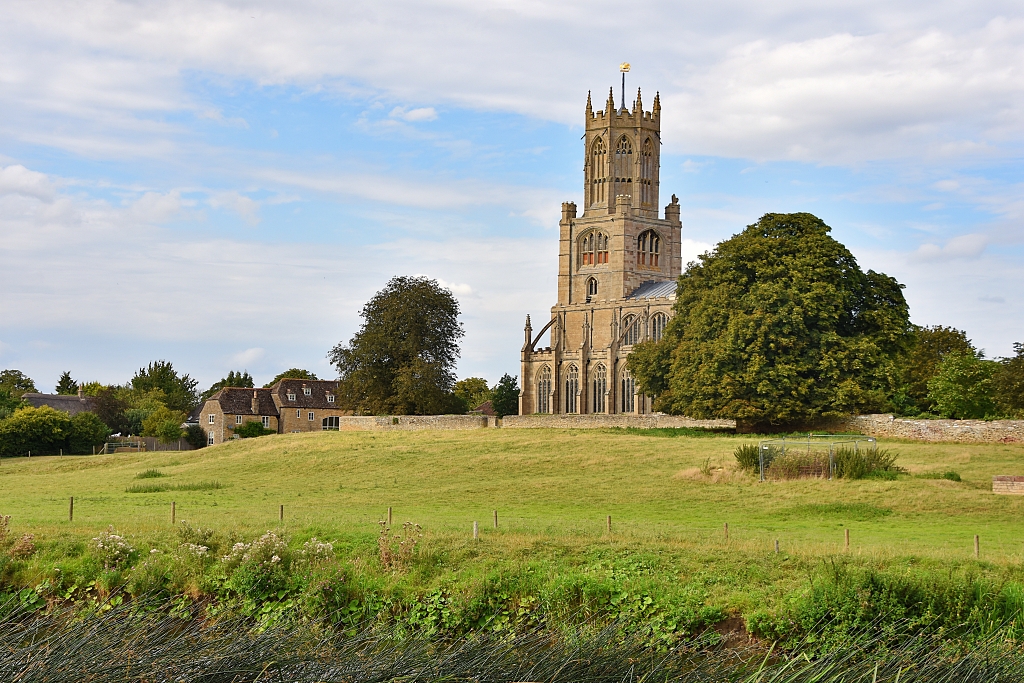 View Towards St. Mary's and All Saints Church in Fotheringhay from the River Nene © essentially-england.com
St. Mary's and All Saints Church
The Church of St. Mary’s and All Saints in Fotheringhay is an impressive structure that feels too grand for the small village. What we see now, though, is only a small part of the church that was rebuilt during the 15th century. Back then, it was a much larger complex that housed up to thirty monks and was run like a monastery but called a collegiate church. It was built by the Duke of York whose main residence was Fotheringhay Castle. As part of the reformation during the reign of King Henry VIII, the monks were pensioned off and the church reduced in size to form the parish church that exists today.
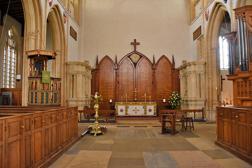 The King Edward IV Pulpit and Family Tombs Either Side of the Alter © essentially-england.com
The church is open most days and inside you can find information boards about the House of York and Mary, Queen of Scots. Some of the highlights include:
The Fotheringhay Lion on the wall of the church porch. It originates at Fotheringhay Castle and was once part of a Royal Coat of Arms. You’ll also notice other lions around the church.
The beautifully decorated fifteenth century pulpit, which was a gift from King Edward IV and has a coat of arms with a white lion.
Either side of the altar are the tombs of Richard, 1st Duke of York and his second son, Edmund, the Earl of Rutland, who were killed during the Wars of the Roses in a battle near Wakefield in 1460. Originally, they were buried near Pontefract, but King Edward IV had their bodies exhumed and reburied in Fotheringhay with a ceremonious procession and funeral service.
The York window in the wall of the south isle. It honours the House of York who were the founders of St. Mary’s and All Saints Church and displays many of their coats of arms. The window was a gift from the Richard III Society and was presented to the church in 1975.
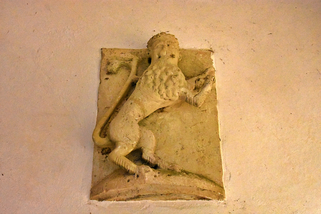 The Fotheringhay Church Lion © essentially-england.com
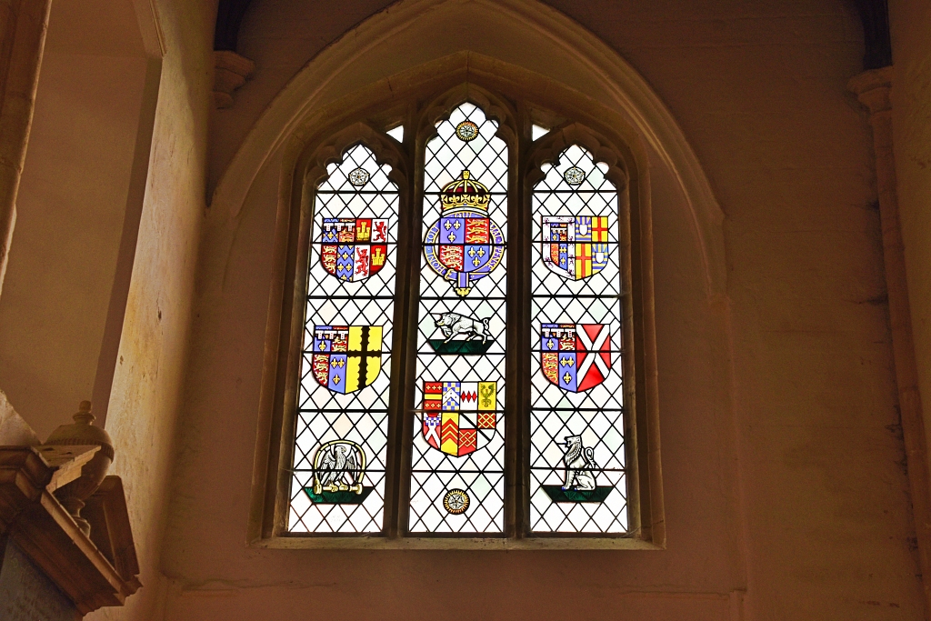 Fotheringhay Church York Window © essentially-england.com
Fotheringhay Circular Walk Instructions
After exploring the church, we took the road opposite signposted Nassington, Yarwell, and Wansford. Shortly after crossing the second of two small stone bridges, we joined the first footpath on the right next to some rusty farm machinery hidden amongst the vegetation. We crossed the field to the field boundary, went across a small wooden bridge and into another field where we headed towards some derelict farm buildings and barns.
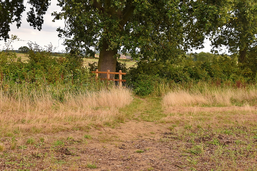 Wooden Footbridge © essentially-england.com
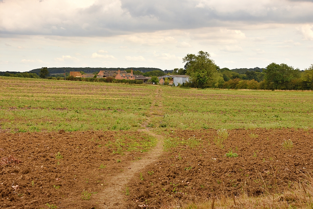 Footpath To Derelict Farmhouse © essentially-england.com
We turned right and walked in front of the old farmhouse to then turn left and walk along the side of the house and across another field to the tree lined field boundary. After crossing a rather narrow and overgrow wooden bridge, we entered a grass field and followed the worn path across to the trees and hedges in the distance.
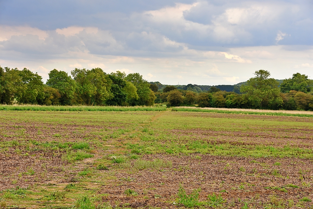 Footpath Heading Towards Trees © essentially-england.com
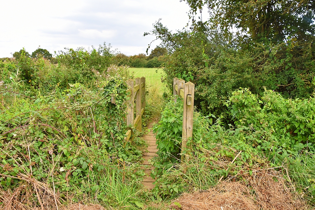 Narrow Overgrown Wooden Bridge © essentially-england.com
Shortly
after, we joined a stony track and turned right and followed the footpath signs,
crossing a wooden stile and headed towards the small village of Elton in the
distance.
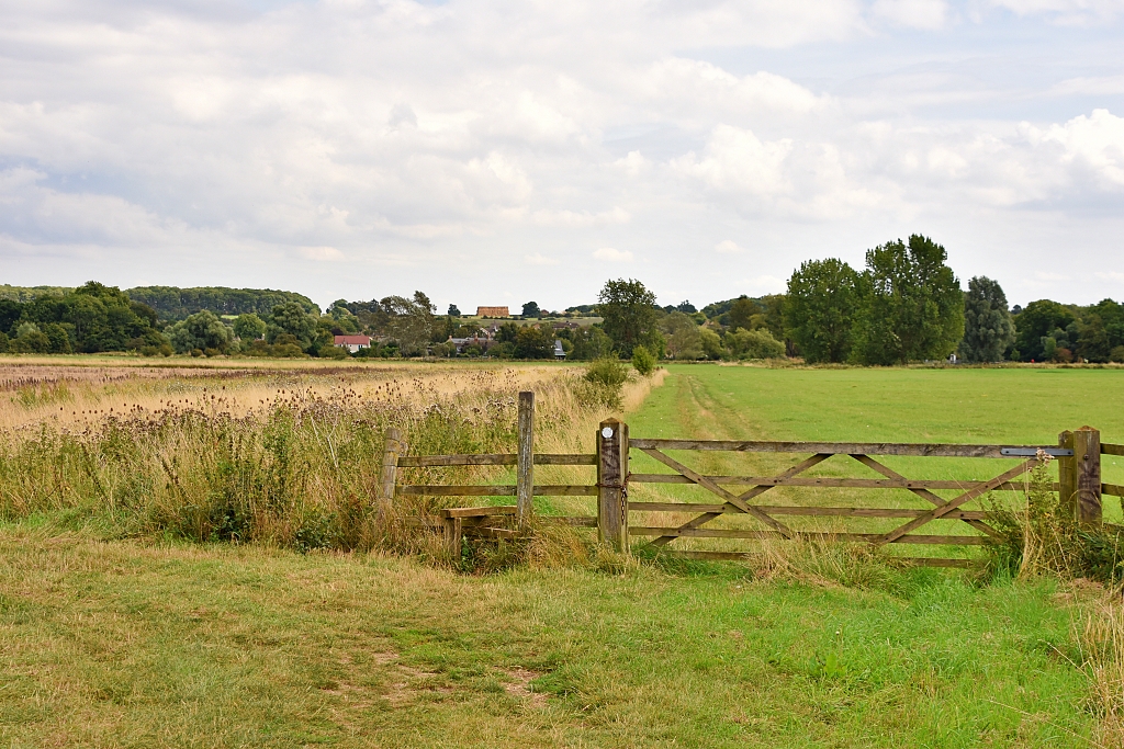 The Stile Before Elton Village © essentially-england.com
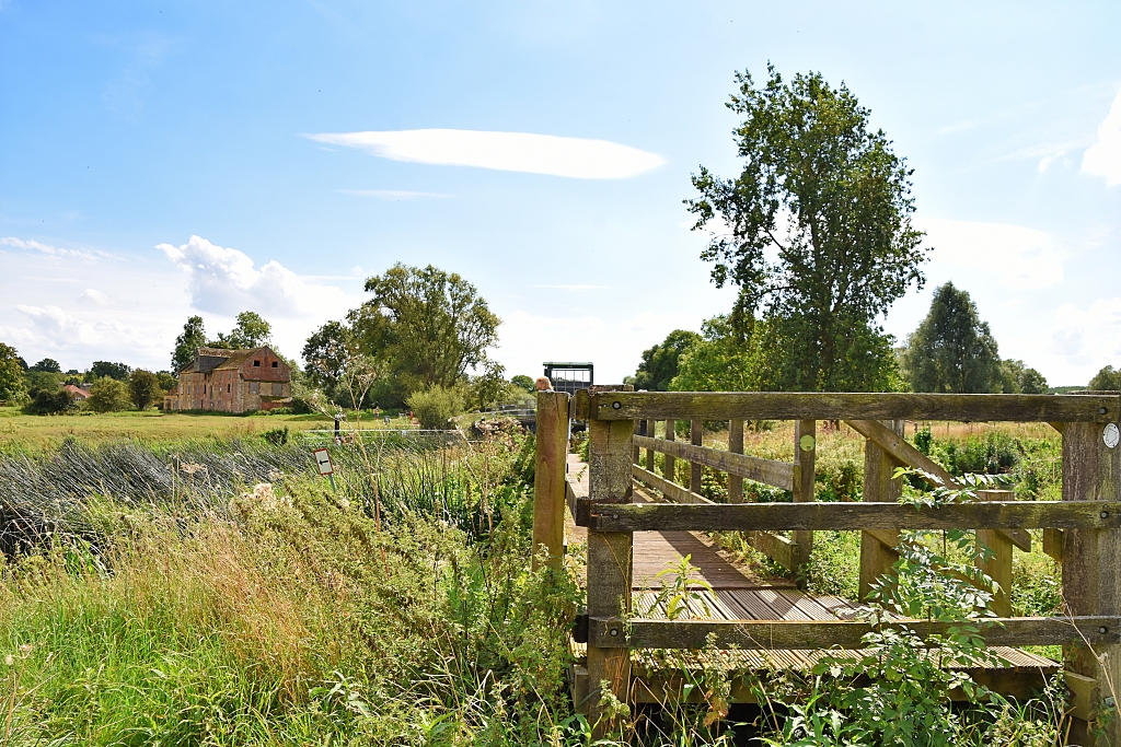 Approaching Elton Lock and Mill © essentially-england.com
As we approached Elton, we passed through a wooden kissing gate to join the bank of the gently flowing River Nene. The scene reminded us of an old English countryside painting. We crossed a wooden bridge and took the path up to the flood defences and lock. It was really peaceful here and there were several families enjoying the afternoon sun and playing on the water.
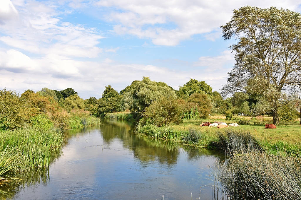 Cows Resting Beside the River Nene in Elton © essentially-england.com
We crossed the defence system and walked on past an abandoned watermill with the water still rushing through its chase. Following the gravel path, we passed through another wooden kissing gate and on towards the village green where we turned right onto Middle Street.
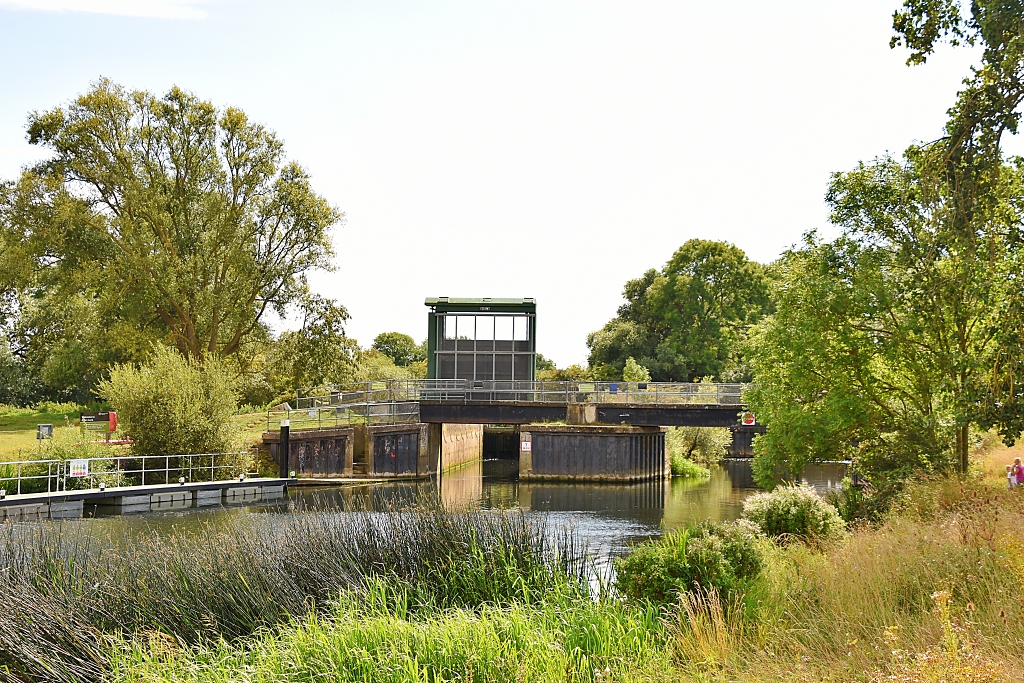 Elton Lock and Flood Defence © essentially-england.com
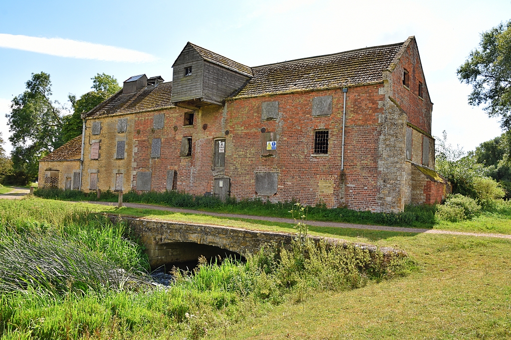 Elton Watermill on the River Nene © essentially-england.com
Pretty much as soon as we’re on Middle Street we turned right by the lovely Elton Chapel onto, surprise surprise, Chapel Street. This was a lovely road with some very pretty cottages and flower arrangements and a view of All Saints Church. After the last house, the path turned into a stony track and away from Elton.
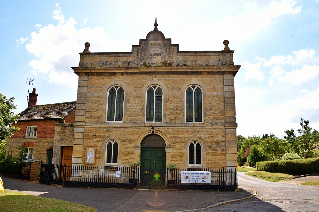 Elton Chapel © essentially-england.com
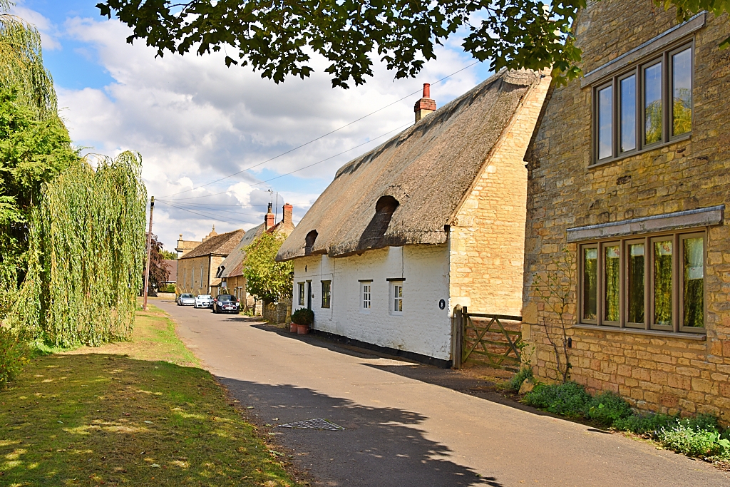 Looking Back Along Chapel Street © essentially-england.com
We walked along the tree-and-bush-lined track to a pair of metal gates. Passing through the smaller gate we entered a grassy field and followed the footpath with a fence to our left. The views opened and looked very much like country estate parkland and there were some better views of the church. At the end of the field, we used a small double gated wooden bridge to enter another grassy field with a worn footpath rising towards the trees in the distance.
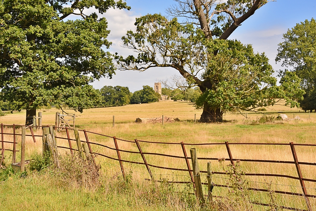 View to All Saints Church in Elton © essentially-england.com
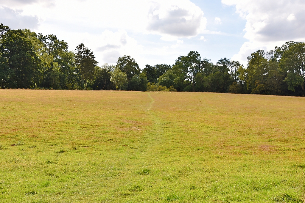 Worn Footpath Towards Trees © essentially-england.com
As we climbed the gentle rise, we were pleased that we remembered the adage “Look where you’re going, but also look where you’ve come from” as behind us there was a fantastic view towards Elton Hall which appeared very castle-like from our angle. No wonder we thought that the earlier landscape looked like “posh house” parkland!
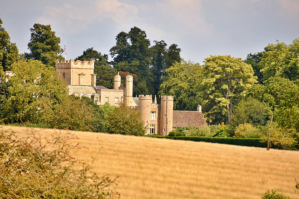 View of Elton Hall on our Fotheringhay Circular Walk © essentially-england.com
The next part of the route gave us some shade from the sun as we went through a strip of woodland. Further on to our left were polytunnels growing who knows what until our path reached a wider track leading to a gravel pit. We turned right and followed the track downhill ignoring any turnings into the pit area. There was a footpath sign pointing to the left that led us through some trees to the main A605 road.
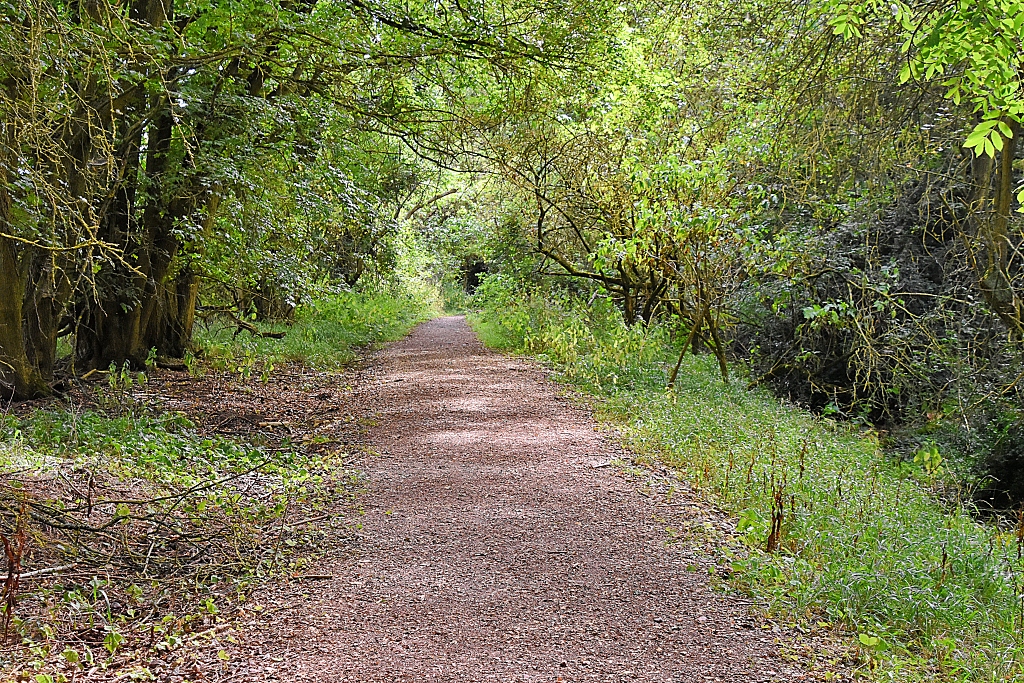 Some Cooling Shade © essentially-england.com
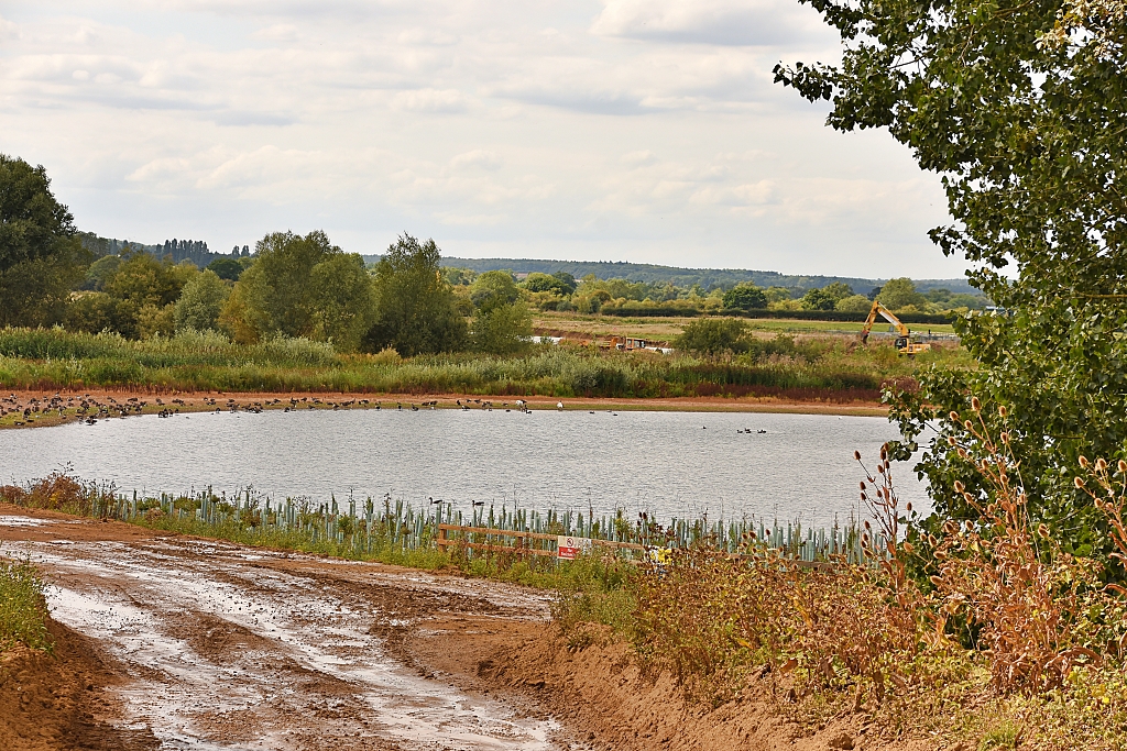 Gravel Pits © essentially-england.com
We carefully crossed the road and followed the path to the left and went up a gentle slope. The footpath went past a field full of polytunnels growing fruit, including some of the largest blueberries and raspberries we’d ever seen. After the polytunnels, the path dropped down, and we passed through a wooden gate next to a metal gate and out onto Peterborough Road.
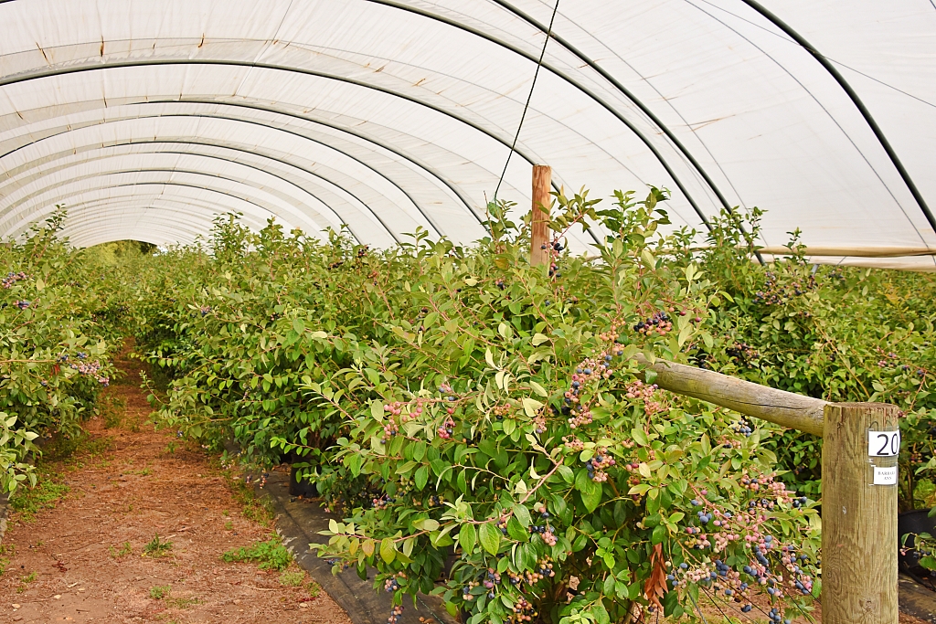 Blueberries Growing in a Polytunnel © essentially-england.com
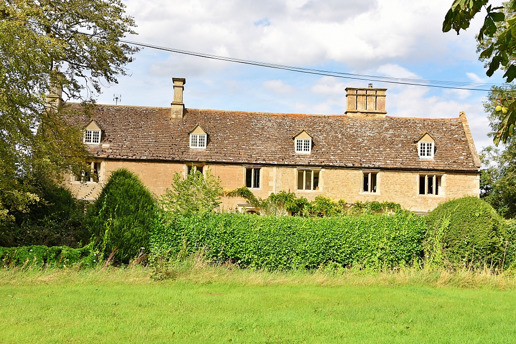 Eaglethorpe House © essentially-england.com
We turned right and followed the road for about 200 metres before turning right again into the small hamlet of Eaglethorpe on the edge of Warmington. Eaglethorpe was first recorded in 1297 and is believed to have developed as a small hamlet around a mill on the River Nene. On our right we passed the oldest building in the hamlet, Eaglethorpe House which dates from 1607, and continued through the small hamlet and through a wooden gate to follow the bridleway and Nene Valley Way signs to the left.
At this point there is an option to go right to see the 18th century Eaglethorpe Dovecote in which there are 797 nest boxes.
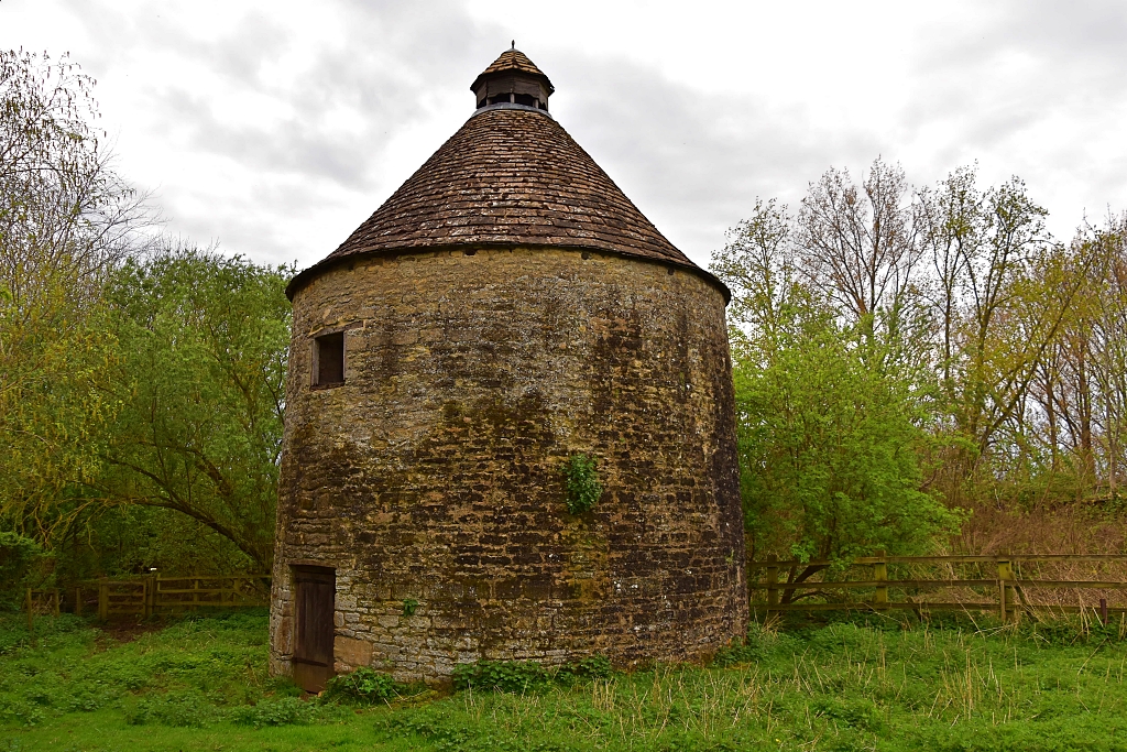 Eaglethorpe Dove Cote © essentially-england.com
We followed the bridleway through the trees and into the tunnel that runs under the A605 road. Street art enthusiasts can explore local points of interest. One of these is the bronze age “beaker” burial found when constructing the main road. A man of between 35-45 years old and 5 foot 9 inches tall was found buried in a crouched position with a decorated pottery beaker, some jet buttons, and flint tools.
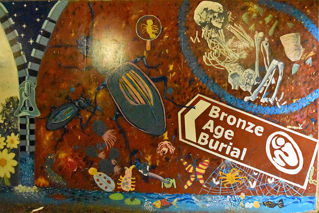 Bronze Age Underpass Mural © essentially-england.com
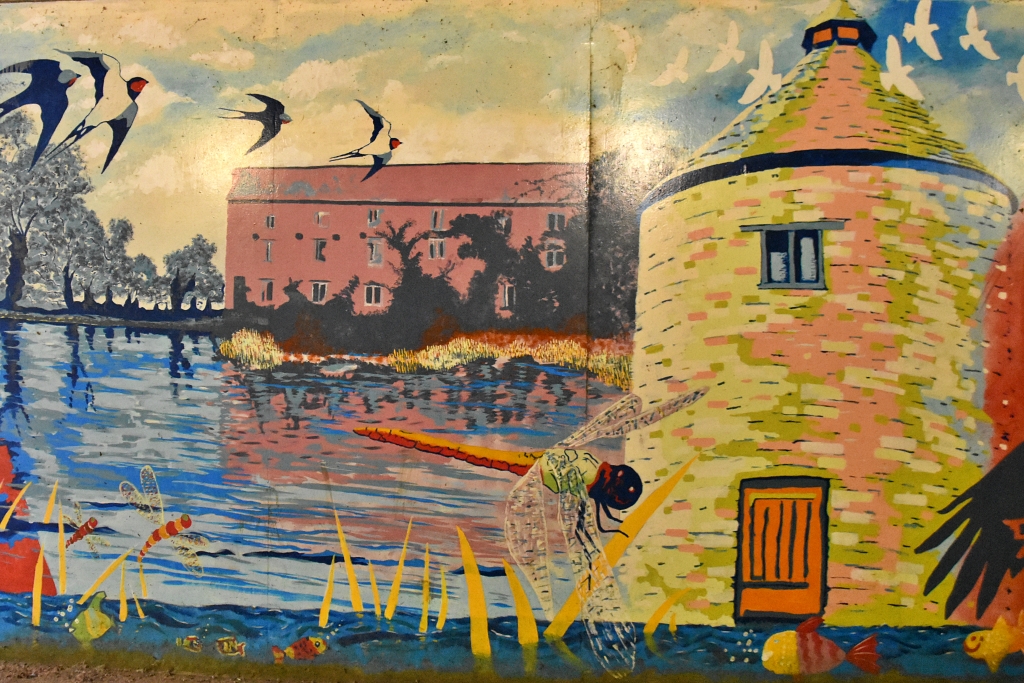 Dovecote Mural © essentially-england.com
Shortly after the underpass we joined the River Nene by an impressive mill house. There was a mill recorded in Warmington in the Doomsday book of 1086 that was once owned by Peterborough Abbey. The current mill is from the late 1800s and was in use until the last miller retired in 1937.
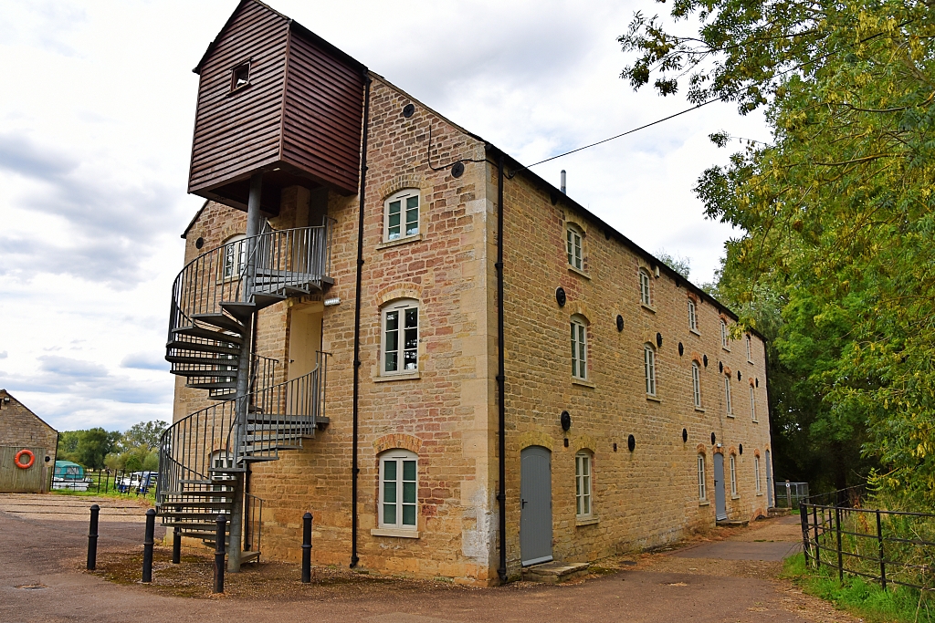 Eaglethorpe Watermill © essentially-england.com
We followed the Nene Way footpath between the mill and mill pond to turn left at the mill race to a wooden kissing gate next to the private entrance to the Elton Boat Club. After passing through the gate, we walked across a grassy field towards a wooden bridge standing in the centre. There was no need of the bridge as the field was bone dry, but I assume this area will flood and the ditch will have water in.
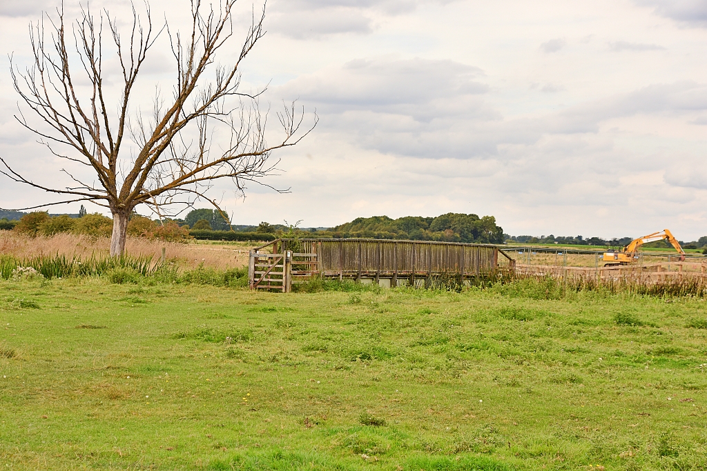 Bridge Approaching Gravel Pit © essentially-england.com
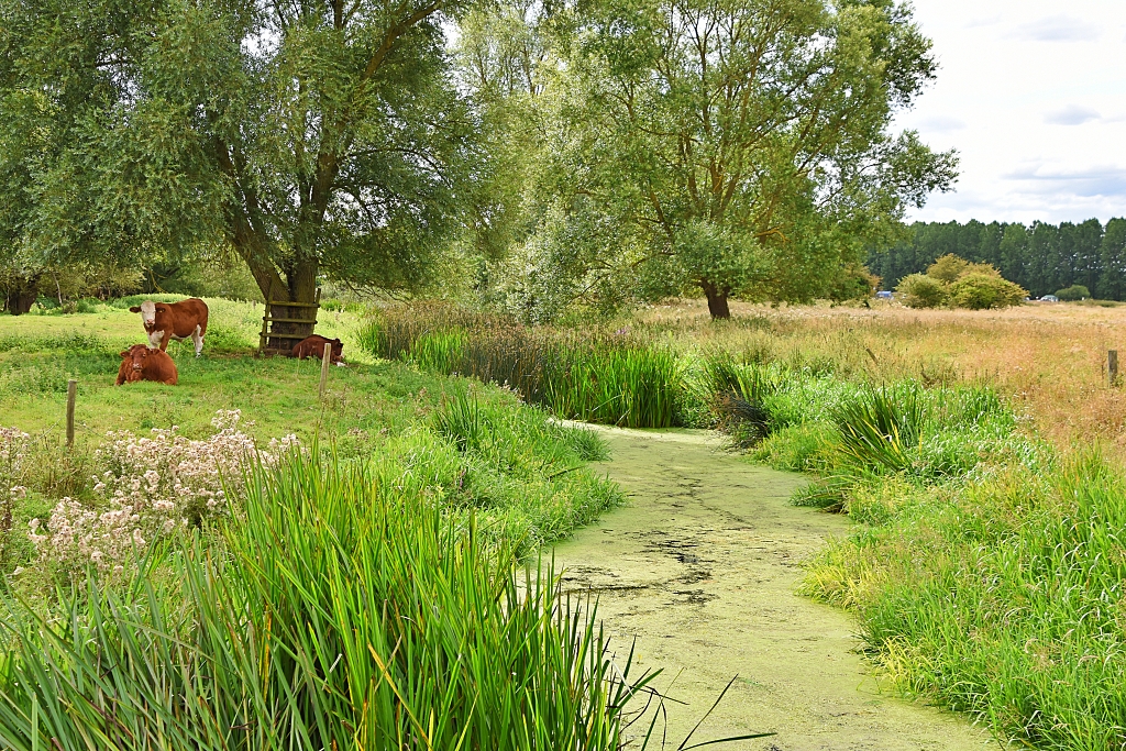 Crossing the Mill Stream © essentially-england.com
The footpath carried on to a more substantial double gated wooden bridge that crossed one of the Mill Stream arms. On the other side of the bridge the footpath had been diverted around a fenced off area that was being quarried for sand and gravel. We followed the path beside a wooden fence to join the River Nene at a guillotine lock and flood defence.
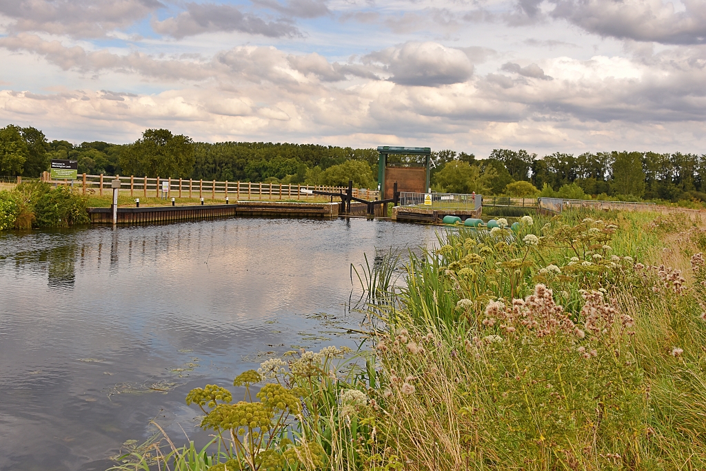 River Nene Guillotine Lock © essentially-england.com
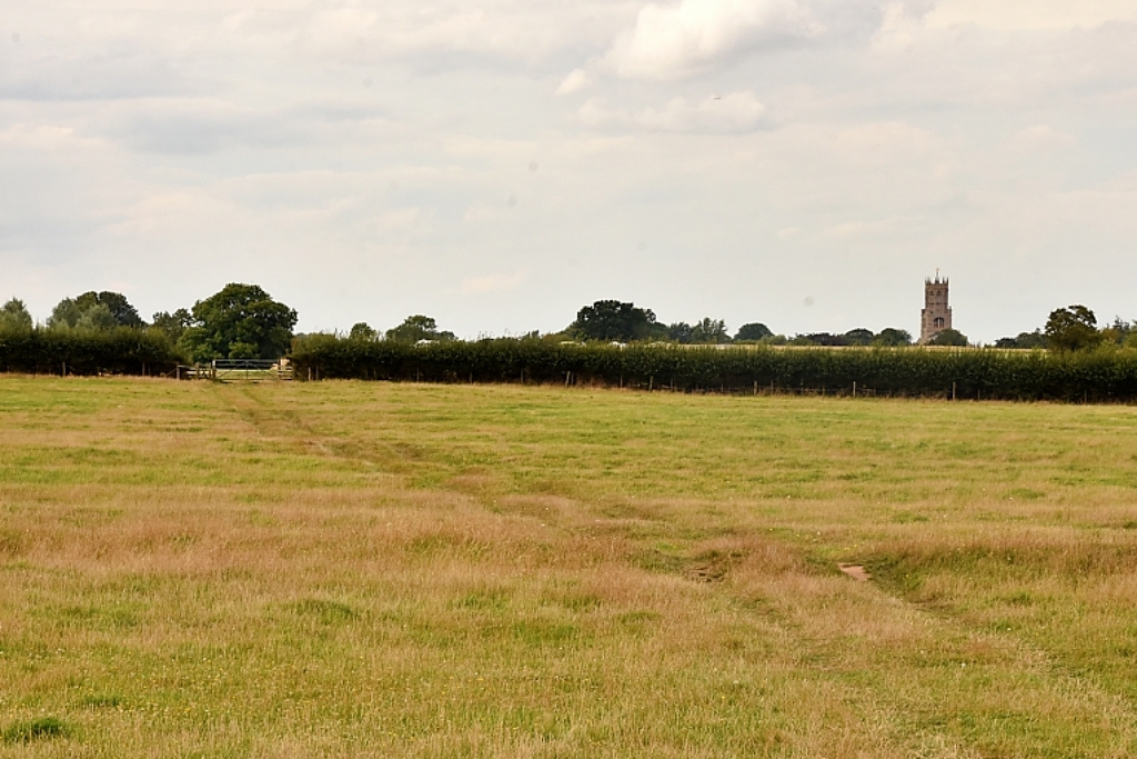 Footpath Back to Fotheringhay © essentially-england.com
Crossing the lock, we continued along the Nene Way footpath across several fields heading towards the tower of St. Mary’s and All Saints Church on the horizon. Just after passing Fotheringhay Castle Camp Site there was an entrance to Fotheringhay Castle on our left-hand side.
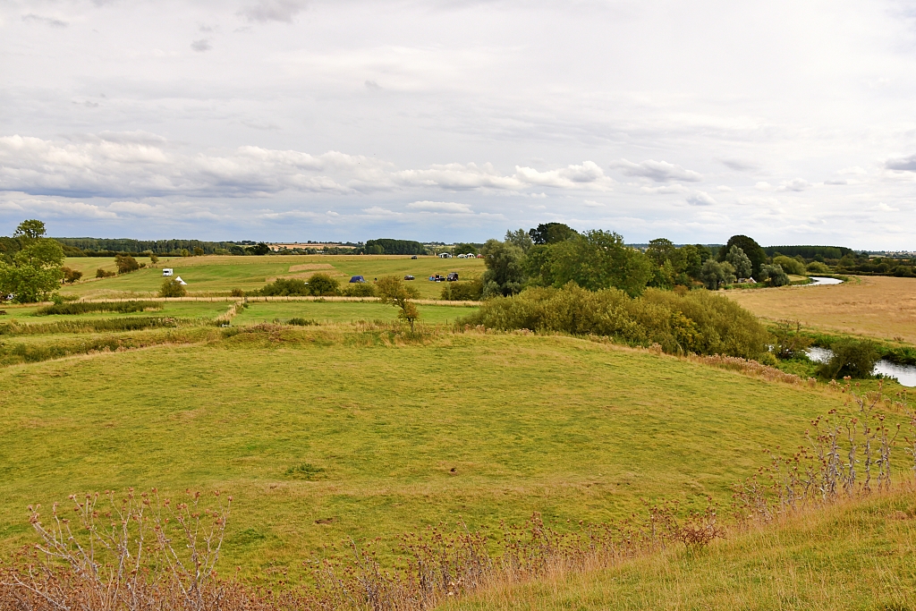 View of the Castle Bailey and Beyond From the Motte © essentially-england.com
Although little remains of the castle, it is well worth climbing the motte to take in the views and walk in the steps of royalty. There are also nice views towards the bridge. This was the main residence of the House of York where the early dukes of York would have lived. King Edward IV was frequently in residence and King Richard III was born here. And, probably the most horrifying event that happened in the castle’s history was the execution of Mary, Queen of Scots. For more information you can jump to our Fotheringhay Castle page.
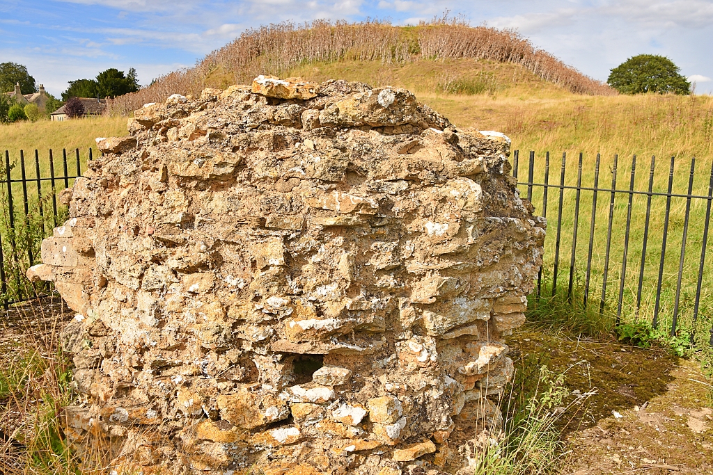 Part of Fotheringhay Castle Keep
 © essentially-england.com
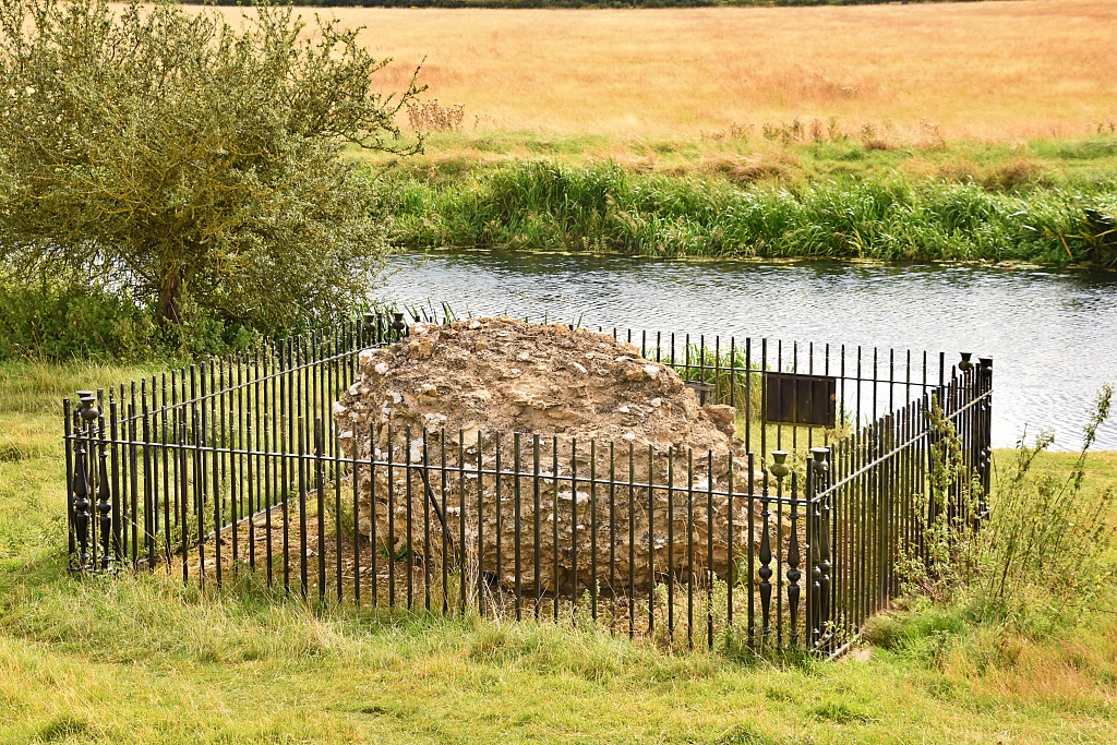 Fotheringhay Castle Masonry Next to the River Nene
 © essentially-england.com
We left the castle site and rejoined the track that took us alongside Castle Farm Guest House to the road in Fotheringhay and turned left again to get to the bridge for great views of the church and river. Retracing our steps back through the village, we passed the Queen of Scots Archway and parts of what used to be the New Inn built for visitors to the castle in the 15th century along with some lovely, thatched cottages to return to our start point outside the church.
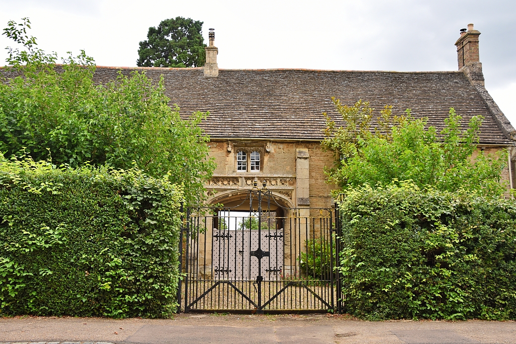 Queen of Scots Archway in Fotheringhay © essentially-england.com
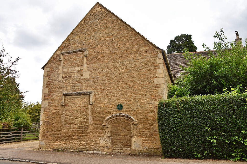 Part of the New Inn in Fotheringhay © essentially-england.com
For a 5-mile walk, our Fotheringhay circular walk packs a good punch with plenty of historical tales, lovely villages, and some relaxing riverside scenery. If you fancy making more of a day of it, then you could stop at one, or more, of the pubs around the walk for lunch and/or refreshments as there were pubs in Fotheringhay, Elton, and Warmington.
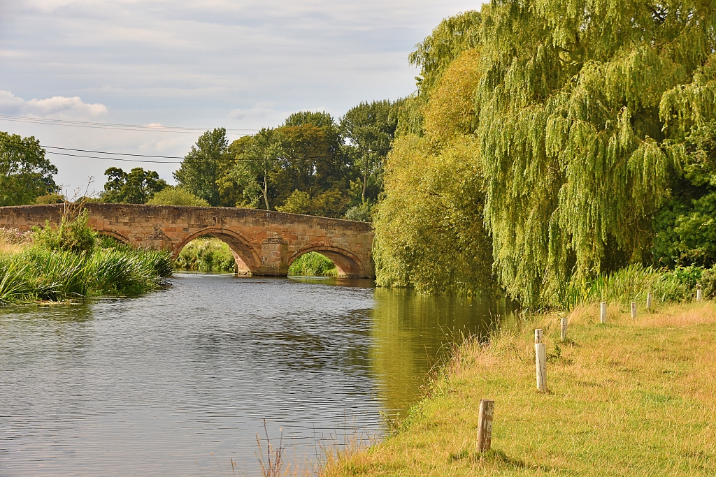 Fotheringhay Bridge Crossing the River Nene © essentially-england.com
Northamptonshire Holiday Cottages
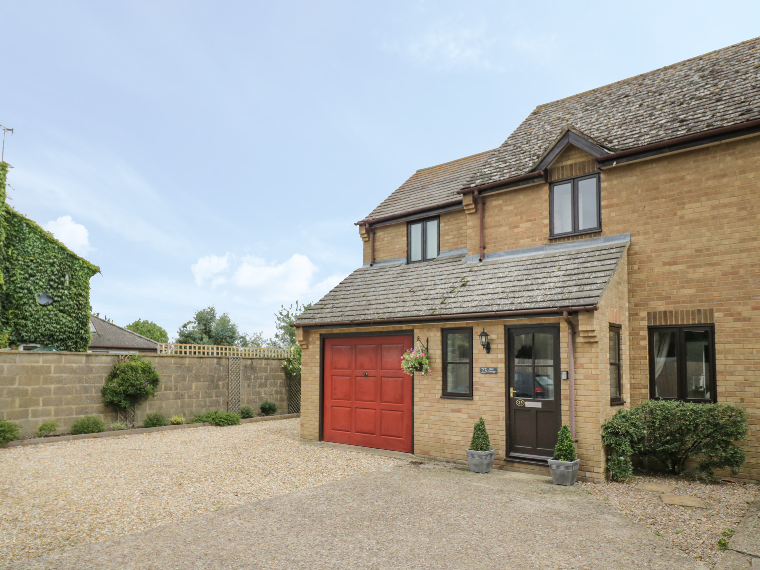
Northamptonshire is a largely rural county in the centre of England, renowned for shoemaking, stunning countryside, and very pretty villages. It makes a great place for walking and cycling and is ideal for a relaxing holiday or short break.
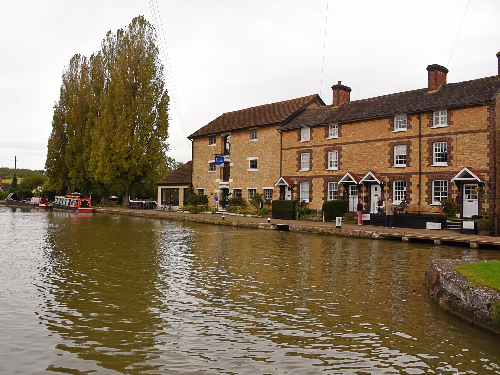
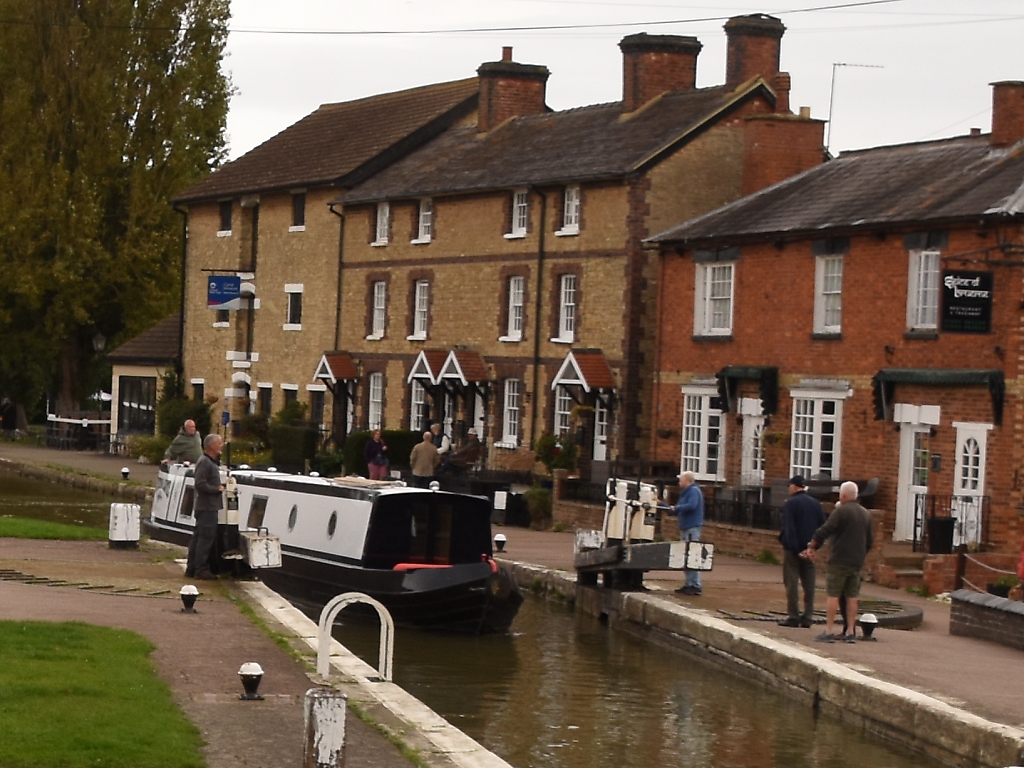
Below, we've collected some holiday cottage ideas. Personally, I would love to stay in Stoke Bruerne, right next to the canal. Stoke Bruerne is a friendly, pretty village with a couple of pubs, an Indian restaurant, and easy walking from the door.
To browse holiday cottages in other parts of England click here, or you could use our Booking.com search box.
