Norfolk Coastal Walks:
Wells-next-the-Sea to Morston
Welcome to the next of our Norfolk coastal walks. We love the north Norfolk coast and often take day trips there that include a visit to the town of Wells-next-the-Sea with its busy fishing harbour. We fell in love with the area on our first tandem cycling holiday, and in subsequent years we’d find new routes that took us through Wells-next-the-Sea and a welcome lunch of fish and chips eaten whilst overlooking the harbour. Now we live a little closer to Norfolk, we often treat ourselves to a day out and finally decided on a personal Norfolk coastal walks challenge: walk along the whole coast from Hunstanton to Cromer and write about it!
We've have already
completed one walk from Wells-next-the-Sea to the wonderful Holkham Hall and back
and have a couple more planned! Today's installment takes us east from Wells-next-the-Sea to Morston.
Our excitement for this stage of our Norfolk coastal walks stemmed from our many visits to Wells-next-the-Sea, spending a holiday in Stiffkey where we discovered Stiffkey Saltmarsh and Beach, and our evening walks from our holiday cottage in Blakeney to Morston and back. So, we know the area quite well, but had never explored the footpath between these lovely places. This was our chance to start joining some of the dots!
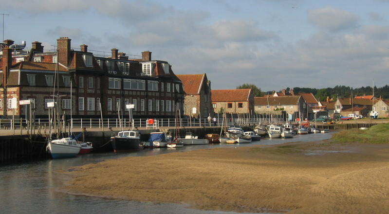
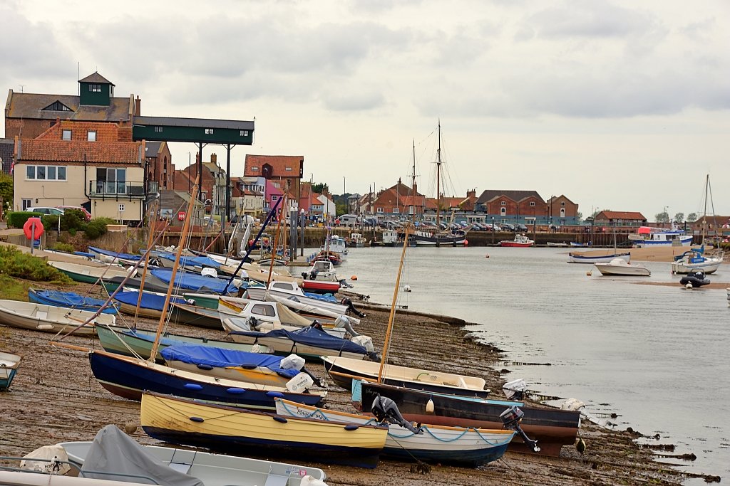 Looking Back at Wells-next-the-Sea Harbour © essentially-england.com
Norfolk Coastal Walks - Wells-next-the-Sea to Morston Map
Our walk from Wells-next-the-Sea to Morston is roughly 6.7 miles long and almost completely flat. It follows the Norfolk Coast Path, which is well signposted, but we do recommend taking some form of map just to make sure you follow the route correctly. If you use Komoot.com mapping software, then you can follow our route on your mobile device. If you use a GPS tracking device and need the gpx file, then use the “Discover more info about this tour” link on the Komoot map to download the file. We usually carry both forms of mapping on us just in case something goes wrong!
We use the Wells Town Carpark for parking but be warned - outside the main season it closes at 4pm!
From the carpark it’s an easy walk into town and you almost immediately trip over two very good fish and chip shops. After our drive up, we usually arrive just as they open and always treat ourselves. Here’s a tip; at certain times of the year the fish and chip shops can get very busy and it’s difficult to find somewhere to sit down. If this is the case, then just walk along the harbour front and within a few minutes you’ll find some quiet benches with a lovely view. The route passes them as it leaves town and joins the Norfolk Coast Path.
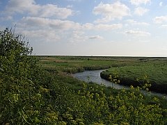
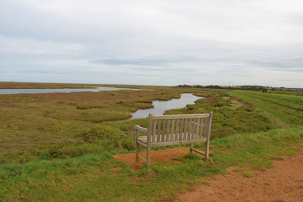 An Ideal Spot for Nature Watching in the Saltmarsh Outside of Wells-next-the-Sea © essentially-england.com
From the harbour, the route follows The Quay passing under the distinctive gantry of an Edwardian Granary and turns left onto East Quay. Just after the large wooden Wells Fishermen’s Cooperative hut is a quiet lawned area with several benches that overlook the water channel. You’ll also find some historic boats moored here, including the fully restored Lucy Lavers, which use to be a lifeboat in Aldeburgh in Suffolk and was used to rescue soldiers from Dunkirk in 1940.
At the end of the East Quay, the road turns into the Norfolk Coast Path and passes between fishermen’s huts and boat building yards. Passing through a wooden gate, the compacted footpath becomes a bank between the East Fleet estuary and reclaimed grassland. The bank gently moves away from the estuary to give early views over saltmarsh.
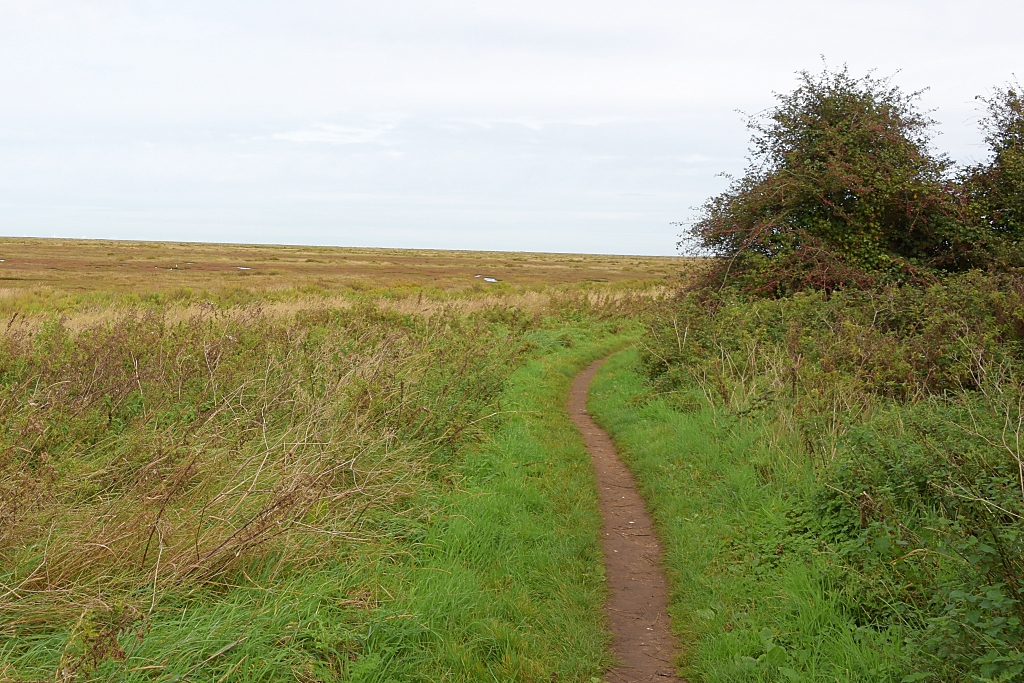 Norfolk Coast Path Between Wells-next-the-Sea and Stiffkey © essentially-england.com
After a couple of sharp turns, the bank comes to an end and the footpath enters a small, wooded area. Leaving the woodland, you'll get an idea what Norfolk coastal walks are all about, as the footpath becomes a grassy track and huge open views over the saltmarsh spread out in front of you. The Norfolk Coast Path continues twisting and turning its way along the edge of the saltmarsh for another 1.5 miles before it joins the broken tarmac runway of the Stiffkey Whirlygig. I had seen this strange circular thing on Google Maps whilst planning this walk and wondered what it was. After walking around it we still didn’t understand its purpose. We found out later that it was used to launch remote-controlled model aircraft for target practice! It only takes a few minutes to walk around the runway and you can get into the centre to see the rotating post used to control the launches. You can read more about the Stiffkey Whirlygig here.
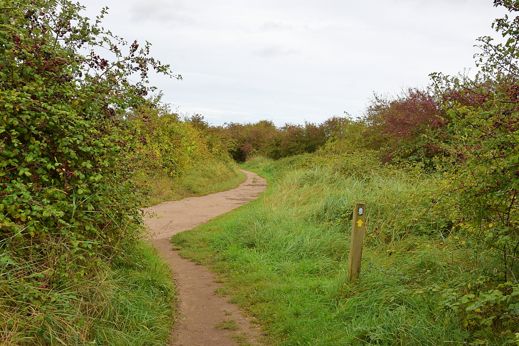 Norfolk Coast Path Joining the Stiffkey Whirlygig Runway
 © essentially-england.com
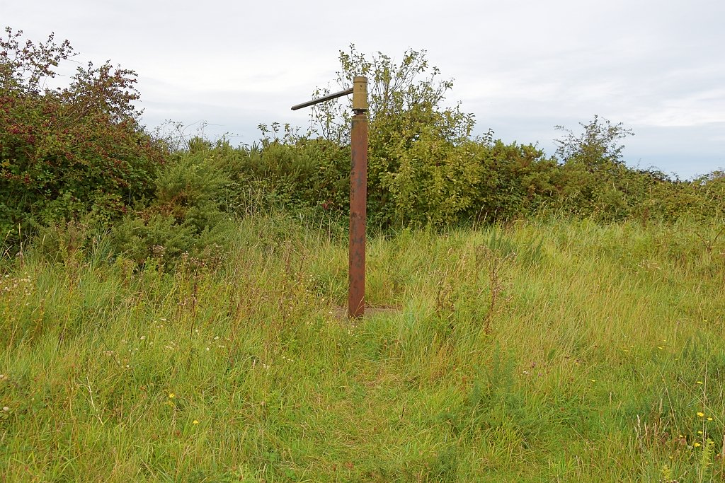 Stiffkey Whirlygig Central Post with Rotating Head
 © essentially-england.com
Shortly after joining the Whirlygig runway, the Norfolk Coast Path turns off right and continues skirting the saltmarsh to the Stiffkey Saltmarshes Carpark.
At this point you could turn left to explore the Stiffkey Saltmarshes and beach or turn right to visit the Rescue Wooden Boats museum which is in one of the old buildings that was part of the military training camp. Turning right here would also take you down the A149 road where you can catch a bus back to Wells-next-the-Sea.
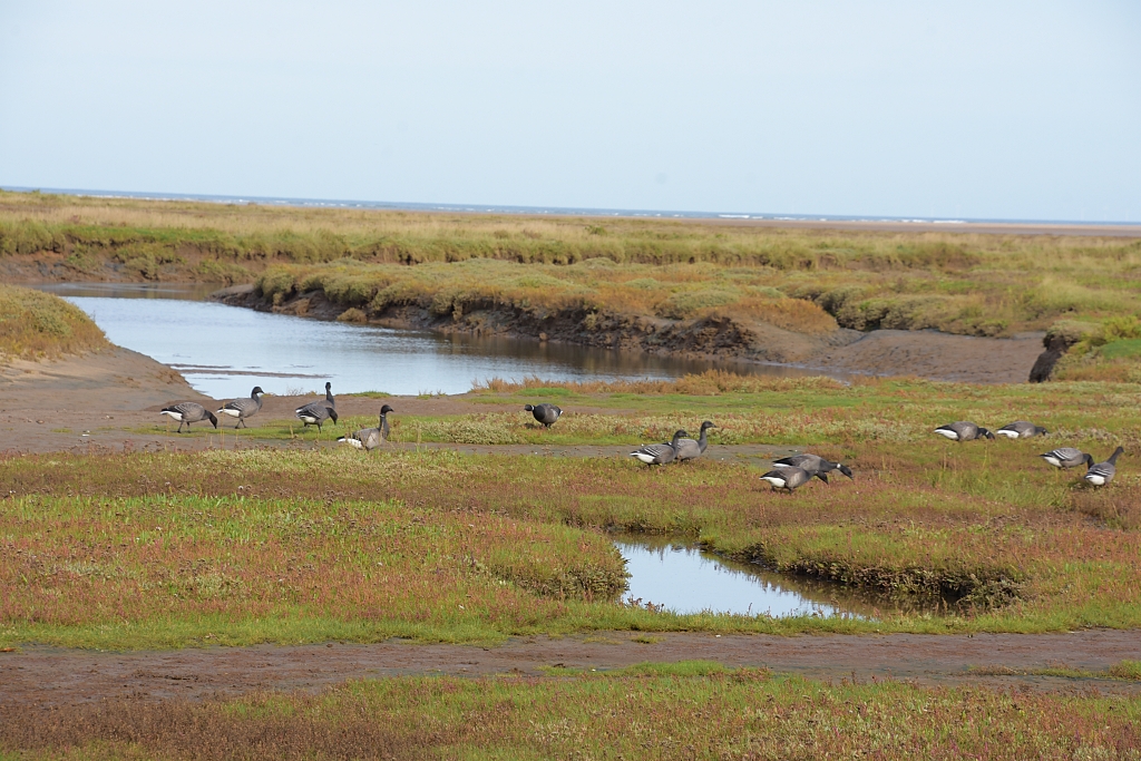 Walking Along Cabbage Creek © essentially-england.com
Continue straight ahead on the Norfolk Coast Path, and watch out for the path becoming a little muddier as it skirts the saltmarsh. A short while later, the Cabbage Creek joins our route and offers some interesting photo opportunities. You can even see the sea in the distance!
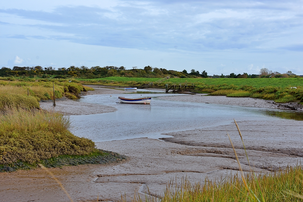 Freshes Creek near Morston © essentially-england.com
The creek soon leaves us, and it’s about another mile until our route meets Freshes Creek. On the way you'll find stunning views across to Blakeney Point and the Old Lifeboat Station.
Follow the grass bank that passes between the creek and the River Stiffkey. Ignore the track that turns off right and follow the creek to a beach area. This is another photogenic site and is also good for a bit of wildlife spotting.
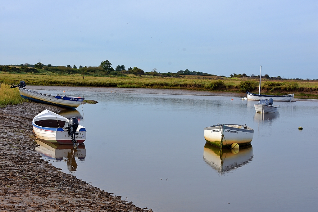 Boats on Freshes Creek © essentially-england.com
Leave the beach and take the path between the rows of landed boats and back along the edge of the saltmarsh. After about a third of a mile we found the footpath became very muddy and had to divert around. Follow the footpath signs along the grassy track, through a corridor of gorse bushes and back beside the saltmarsh where there are more views out to Blakeney Point and the masts of the boats moored in Morston Harbour.
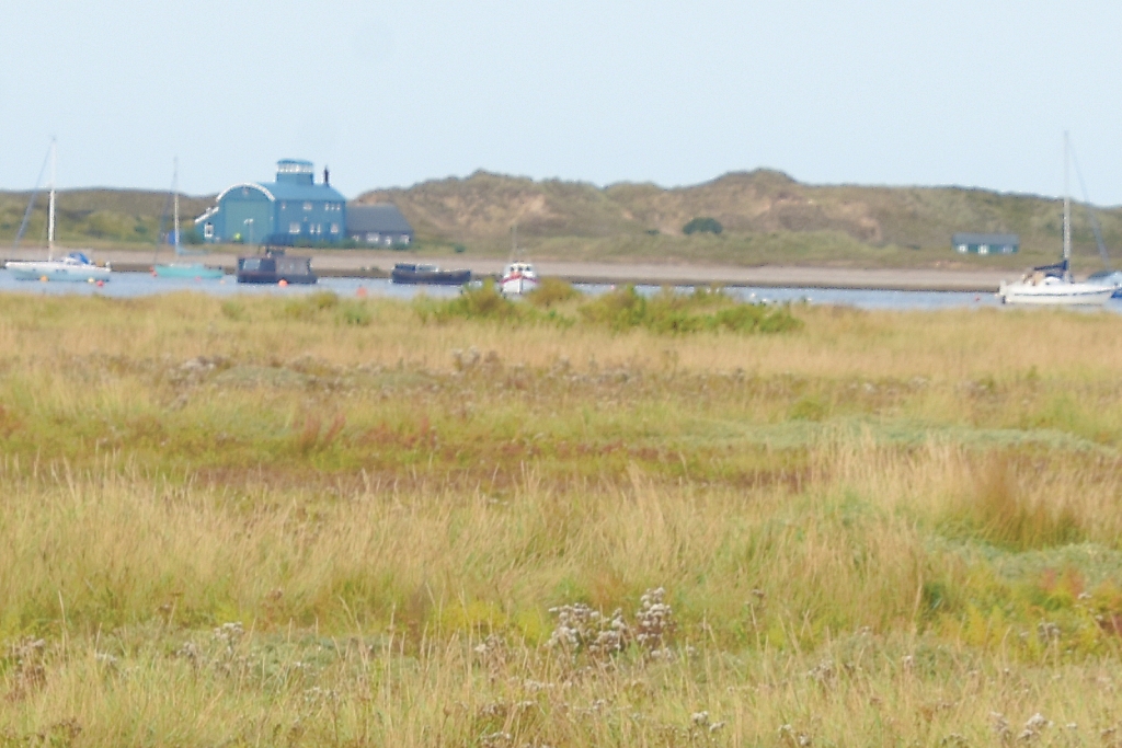 Distant View of the Old Lifeboat Station on Blakeney Point © essentially-england.com
The National Trust owns Morston Quay and they run a small café for refreshments in the Lookout Tower at most times of the year. For more information and opening times check the National Trust website here.
Also, if the tide is high, you could treat yourself to a boat trip out to Blakeney Point to see the seals that come ashore to have their pups.
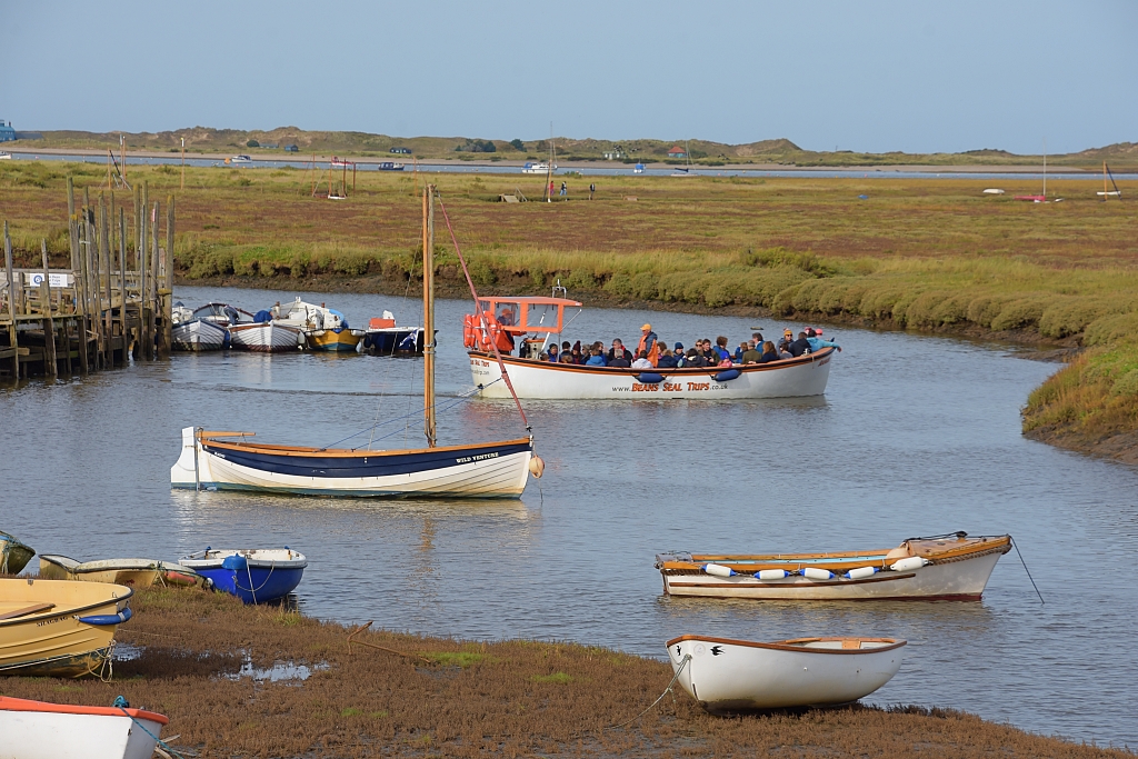 Seal Trip Leaving Morston Quay © essentially-england.com
To catch the bus back to Wells-next-the-Sea, we walked up the track to Morston village and the bus stop is next to the small, triangular village green. Buses run once or twice an hour depending on the time of day and year. If you have time to kill, then have a quick walk around Morston. It’s not a big village, but it is quite pretty.
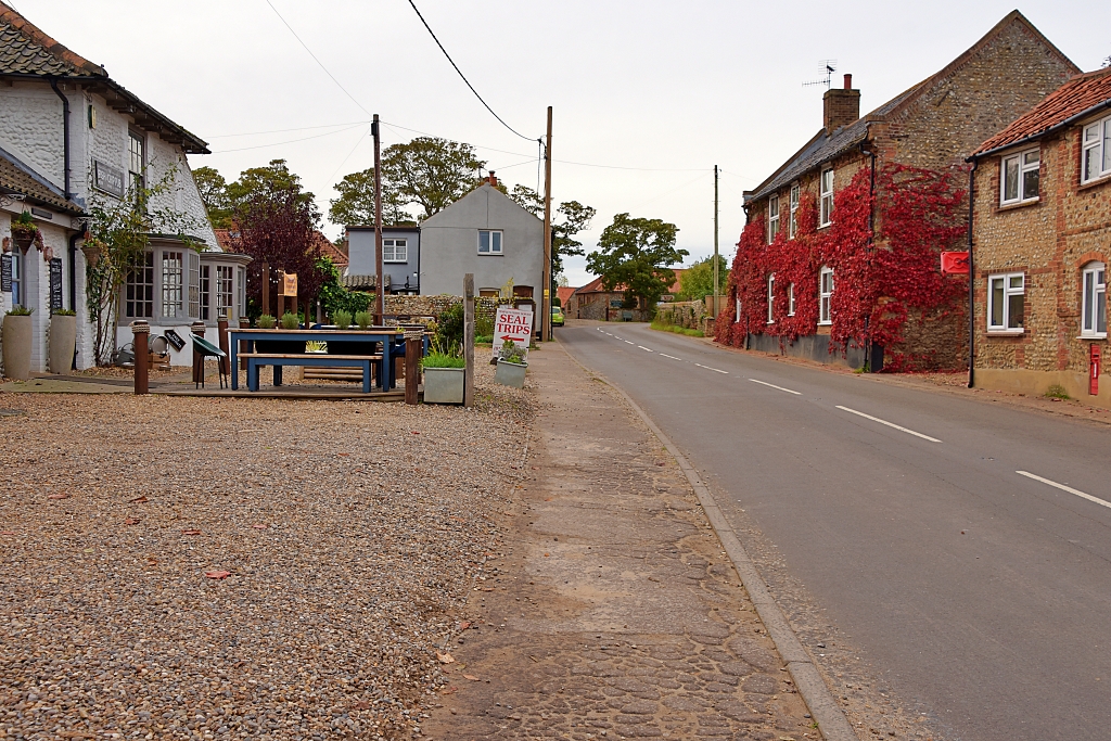 Morston Village Scene © essentially-england.com
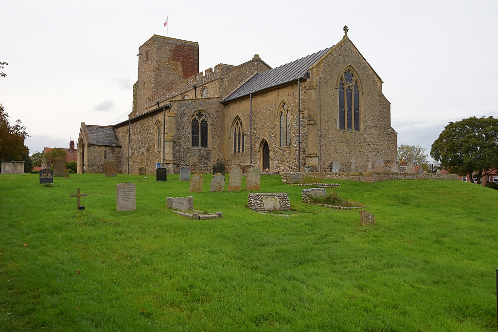 All Saints Church in Morston © essentially-england.com
Are You Planning a Holiday in Norfolk?
Where You Could Stay
Norfolk has no shortage of fabulous holiday accommodation whether you want to spend time on the beach, love boating or want to explore inland. You may covet a tiny fisherman's cottage like the one in Blakeney we kept returning to. You may like something larger and more modern like a loft overlooking the Norfolk Broads, or the right place for you may be a chic city apartment perfectly placed to explore Norwich...
To see other holiday cottages in Norfolk click here. Or check out holiday cottages in other parts of England by clicking here.
Or you could try a family orientated holiday resort in Lincolnshire as there's plenty of choice...
If you need to find a hotel, then try one of these search platforms...
What You Could See and Do
It's next to impossible to be bored in Norfolk, there's just so much to do and see. The list below includes some of our favourite places
- Explore Norwich with its shops and two cathedrals and pay a visit to Norwich Castle and its teapot museum.
- Visit Admiral Lord Nelson's birthplace at Burham Thorpe and read the report of the Battle of Trafalgar in a copy of The Times from 1805
- Spend a day at Sandringham and Castle Rising Castle
- Take a ride on the Holt to Sheringham Railway and explore the beautiful little town of Holt and the seaside town of Sheringham
- Explore the ruins of Castle Acre and Castle Acre Priory
- Shop in Burnham Market
- Wander around the small town of Blakeney, explore the church and harbour before making an attempt to reach the seals at Blakeney Point
- Admire the famous windmill and go birdwatching in Cley-next-the-Sea
- Be wowed by the rhododendrons in Sheringham Park
- Visit Anne Boleyn's family home, Blickling Hall, or explore Oxburgh Hall, a fabulous manor house with a moat.
- Go wildlife spotting while walking through the Cley marshes from Blakeney or to the small village of Morston and its quay.
- Or even fish for crabs and wander along the famous pier at Cromer.
For more inspiration try our Things to do in Norfolk page.
For more walking ideas return from our Norfolk Coastal walks page to the Norfolk page.


